What is recorded here
Situated on a S-facing slope. A circular enclosure is depicted at this point only on a manuscript map (21 F 14 (44)) of 1802 in NLI. No archaeological feature is visible at ground level in pasture, and nor is one visible on any aerial image. Archaeological testing (03E0337) by R. Meenan on the site of a single house c. 150m to the SE at the closest point identified no related material (excavations.ie 2003:1382).
The above description is derived from the published 'Archaeological Inventory of County Meath' (Dublin: Stationery Office, 1987). In certain instances the entries have been revised and updated in the light of recent research.
Compiled by: Michael Moore
Date of revision: 22 February 2019
Amended: 14 October 2025
The monument record does not grant public access. Check the route and ask the landowner before entering private land.
- What survives
- Recorded monument
Places near here
 FortsCastle, motte and bailey · 845 yd
 Mote of DerverArchaeological place · 869 yd
 Church in EdenburtChurch · 1238 yd
 IndicatedEnclosure · 1533 yd
 Woodpole Fox CovertWood · 1582 yd
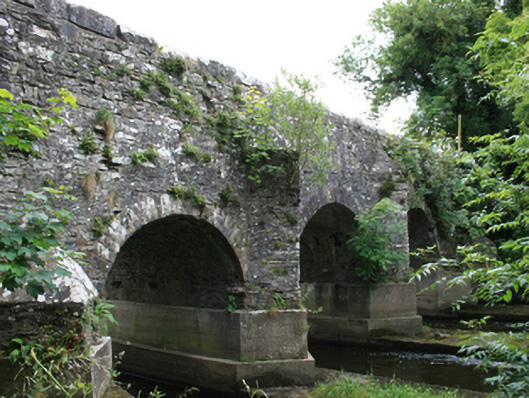 O'Daly's Bridgebridge · 1.0 mi
 Feegat ForestWood · 1.2 mi
 Balgree MoteCastle, motte · 1.4 mi
 MaperathMountain / peak · 2.5 mi
 MountainpoleMountain / peak · 3.6 mi
 The Kieran Flanagan WayMemorial · 3.9 mi
 Great Famine ProjectMemorial · 4.0 mi