What is recorded here
Located towards the bottom of an E-facing slope. A circular enclosure is depicted at this point only on a manuscript map (21 F 14 (44)) of 1802 in NLI. This is a slightly raised circular and grass-covered area (diam. of top 27m) defined by a scarp (max. H 0.3m).
The above description is derived from the published 'Archaeological Inventory of County Meath' (Dublin: Stationery Office, 1987). In certain instances the entries have been revised and updated in the light of recent research.
Compiled by: Michael Moore
Date of revision: 22 February 2019
The monument record does not grant public access. Check the route and ask the landowner before entering private land.
- What survives
- Recorded monument
Places near here
 FortsCastle, motte and bailey · 1226 yd
 Mote of DerverArchaeological place · 1249 yd
 Church in EdenburtChurch · 1346 yd
 Feegat ForestWood · 1604 yd
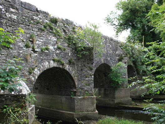 O'Daly's Bridgebridge · 1.1 mi
 Woodpole Fox CovertWood · 1.2 mi
 IndicatedEnclosure · 1.2 mi
 Balgree MoteCastle, motte · 1.7 mi
 MaperathMountain / peak · 2.4 mi
 MountainpoleMountain / peak · 3.5 mi
 The Kieran Flanagan WayMemorial · 4.0 mi
 Moynalty Steam Threshing MuseumMuseum · 4.0 mi