What is recorded here
Curraghnalaght holds a ghost road, not paved but dug, marking the exact moment human hands first cut through wild ground. Two parallel ditches run one hundred and thirty metres from a levelled ringfort toward a modern highway that severed the path rather than following it. The land remembers the shape of that choice. People walked there before wheels, before written laws, before the county existed. They knew the distance between enclosures because their bodies repeated it. The road builders arrived later and struck through the line without asking what it meant.
Cropmark in tillage (CASAP) shows linear feature defined by two closely spaced parallel fosses, possibly indicating a trackway. Feature visible running in roughly SW-NE direction for c. 130m from levelled ringfort (8233) and truncated by a road at NE end. Subcircular enclosure (9129) lies c. 60m to NW and second enclosure (9130) c. 200m to NW.
The above description is derived from the published 'Archaeological Inventory of County Cork. Volume 3: Mid Cork' (Dublin: Stationery Office, 1997). In certain instances the entries have been revised and updated in the light of recent research.
Date of upload/revision: 14 January 2009
The monument record does not grant public access. Check the route and ask the landowner before entering private land.
- What survives
- Recorded monument
Places near here
 The Gablespresbytery/parochial/curate's house · 356 yd
 Fulacht fia in ClogheenmilconFulacht fia · 774 yd
 Shantempleen (in Ruins)Church · 836 yd
 Milestone (present location) in ArdamadaneMilestone (present location) · 1742 yd
 River Martin Mill & WeirVisitor information · 1.1 mi
 Jerry O'Connor 1955-2005Memorial · 1.1 mi
 Waterloo Loop WalkWalking route · 1.1 mi
 BatsVisitor information · 1.1 mi
 Ring WoodWood · 1.2 mi
:BlarneyCastle,KinsaleCorkCityShoreTour-KlookIndia.jpg) Clogheenmilcon SanctuaryNature reserve · 1.4 mi
Clogheenmilcon SanctuaryNature reserve · 1.4 mi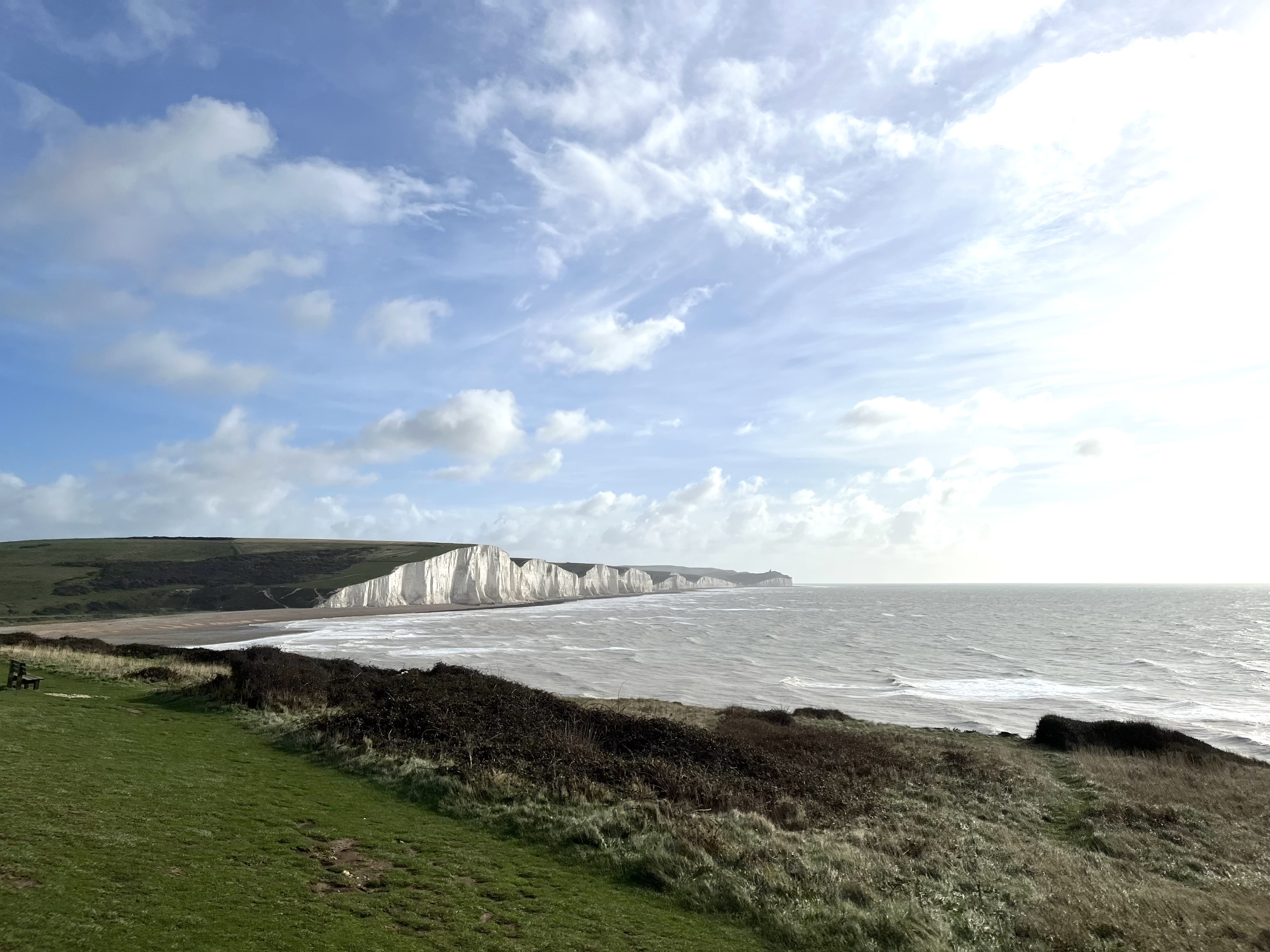 The Seven SistersHeritage attraction · 1.8 mi
 The Rock CloseHeritage attraction · 1.8 mi