What is recorded here
Situated on a slight NE-SW rise in a low-lying area with the canalised N-S Gara River c. 70m to the W. Two parallel ditches (Wth of base 1.5-2m; D 0.7-0.9m) separated by a berm (Wth 4m) run NW-SE across the rise with earthen banks (Wth 2.5-3m; ext. H 0.2-0.4m) on the outer sides (L 26m). At the N end the features stop 5m short of an E-W ditch (Wth of base 1m; D at S 0.5m; D at N 0.7m) with a bank (Wth 2.7m; ext. H 0.7m) on the N side (L c. 30m). The double ditches with outer banks could be a section of roadway, but spoil from land clearance was deposited on the area.
Compiled by: Michael Moore
Date of upload: 17 August, 2016
The monument record does not grant public access. Check the route and ask the landowner before entering private land.
- What survives
- Recorded monument
Places near here
 Carnagillagh FortFairy fort / earthen ringfort · 321 yd
 Enclosure in RogerstownEnclosure · 1269 yd
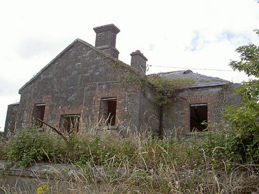 Stormanstown National Schoolschool · 1745 yd
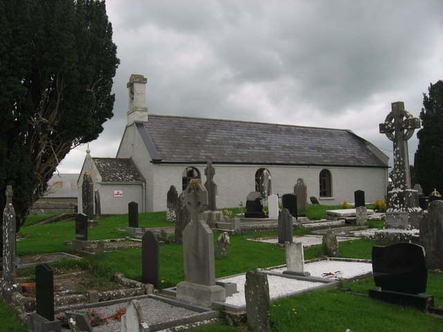 St. Medocs ChurchChurch · 1.0 mi
 Matthew's HillMountain / peak · 1.0 mi
 Yellow HillMountain / peak · 1.3 mi
 CastleCastle, motte · 1.6 mi
 Site of Cookstown CastleCastle, unclassified · 1.9 mi
 European White ElmEuropean White Elm · 3.2 mi
 English hollyEnglish holly · 3.2 mi
 Sir Frederick Foster MemorialMemorial · 3.3 mi
 Flat cemetery in AnnaheanFlat cemetery · 3.7 mi