
Places near here
Photo credits
- National Inventory of Architectural Heritage
- Mike Searle, Wikimedia Commons · CC BY-SA 2.0
- GAA (publisher); individual photographer not identified in image caption, www.gaa.ie
- ClintMalpaso, Wikimedia Commons · CC BY-SA 3.0
- David Cunniffe / Tuam Herald, Source publisher
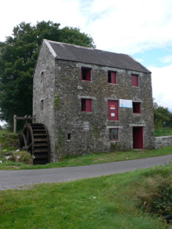 mill (water)1757 yd
Explorer Tom Mill at Pollaneyster sings ‘Wheels on the Bus’ because the water keeps turning and it can’t help itself. It’s intact…
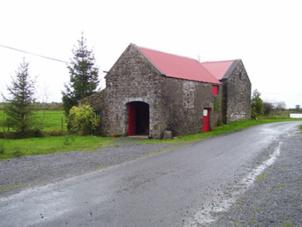 forge/smithy1.0 mi
Explorer Tom Forge or smithy in Pollaneyster was built by a man who thought fire was a personality trait. The mill opposite probably…
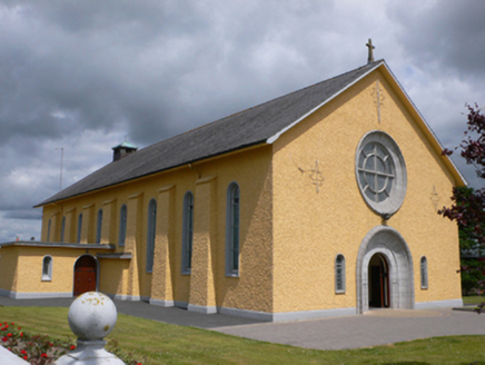 Saint Therese's Catholic ChurchChurch/chapel · 1.4 mi
Explorer Tom Saint Therese's Catholic Church would win a county fair prize for best dressed, probably beating the tractor. It’s got…
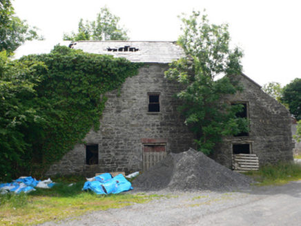 Clough MillMill (water) · 1.4 mi
Explorer Tom Clough Mill on Ed Island is guarding a hidden treasure that’s definitely just an old biscuit tin. The water course…
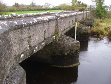 bridge2.2 mi
Explorer Tom Bridge in Bookalagh claims it has an imaginary twin across the sea who sends it letters about the weather, which is…
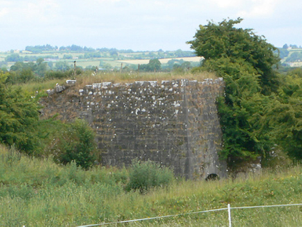 kiln3.9 mi
Explorer Tom Kiln in Ussey is run by a very serious dog that barks at the heat. The lime inside was baked with skills we don't have…
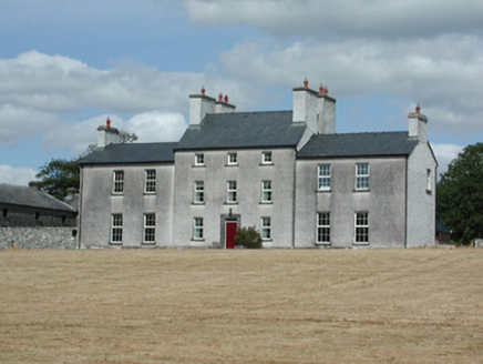 Dundermot HouseCountry house · 4.0 mi
Explorer Tom Dundermot House in Dundermot sits on a hill overlooking the River Suck, probably humming 'Country Roads' every single…
_-_geograph.org.uk_-_1952978.jpg/250px-Castles_of_Connacht,_Glinsk,_Galway_(2)_-_geograph.org.uk_-_1952978.jpg "Photo: Mike Searle, Wikimedia Commons · CC BY-SA 2.0") Bawn in Glinsk (ballymoe By.)Bawn · 5.1 mi
Bawn in Glinsk (ballymoe By.)Bawn · 5.1 miExplorer Tom Bawn in Glinsk listens to what goes on inside the walls and probably hears the Burkes arguing about who left the light…
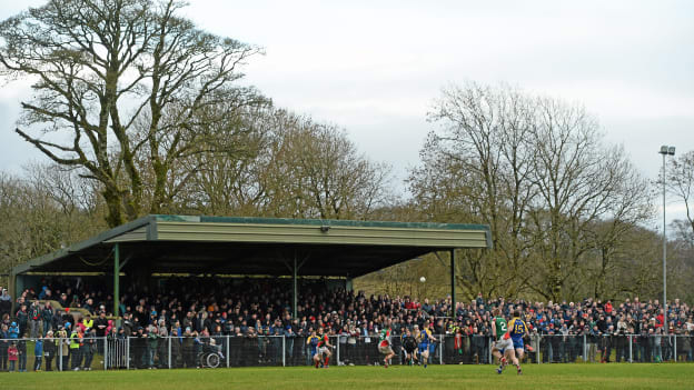 Peadar Earley Memorial Park, Michael Glaveys GAA, BallinloughGAA ground · 6.0 mi
 St. Marys CathedralCathedral · 17 mi
Explorer Tom St. Marys Cathedral in Tuam lost its nave to fire but keeps its chancel alive like a stubborn grandparent refusing to…
 Part of St. Jarlaths CrossCross, High cross · 17 mi
Explorer Tom Part of St. Jarlaths Cross in Tuam is buried under the church floor, making its New Year's resolution to finally stand…
 Tuam StadiumGAA ground · 17 mi
Explorer Tom Tuam Stadium is the town's Gaelic games ground, where the crowd has had generations to practise telling a forward where…
More archaeology and monuments in County Galway · All of County Galway

What do you know about this place?Tap to add a comment or ask a question