
What is recorded here
The OS 1837 and 1937 map editions show 'site of moat' on a break in slope overlooking Malahide estuary. There are no visible surface traces.
Compiled by: Geraldine Stout
Updated by: Christine Baker
Date of upload: 16 January 2015
The monument record does not grant public access. Check the route and ask the landowner before entering private land.
- What survives
- Recorded monument
Places near here
 Ring-ditch in Corballis (nethercross By.)Ring-ditch · 394 yd
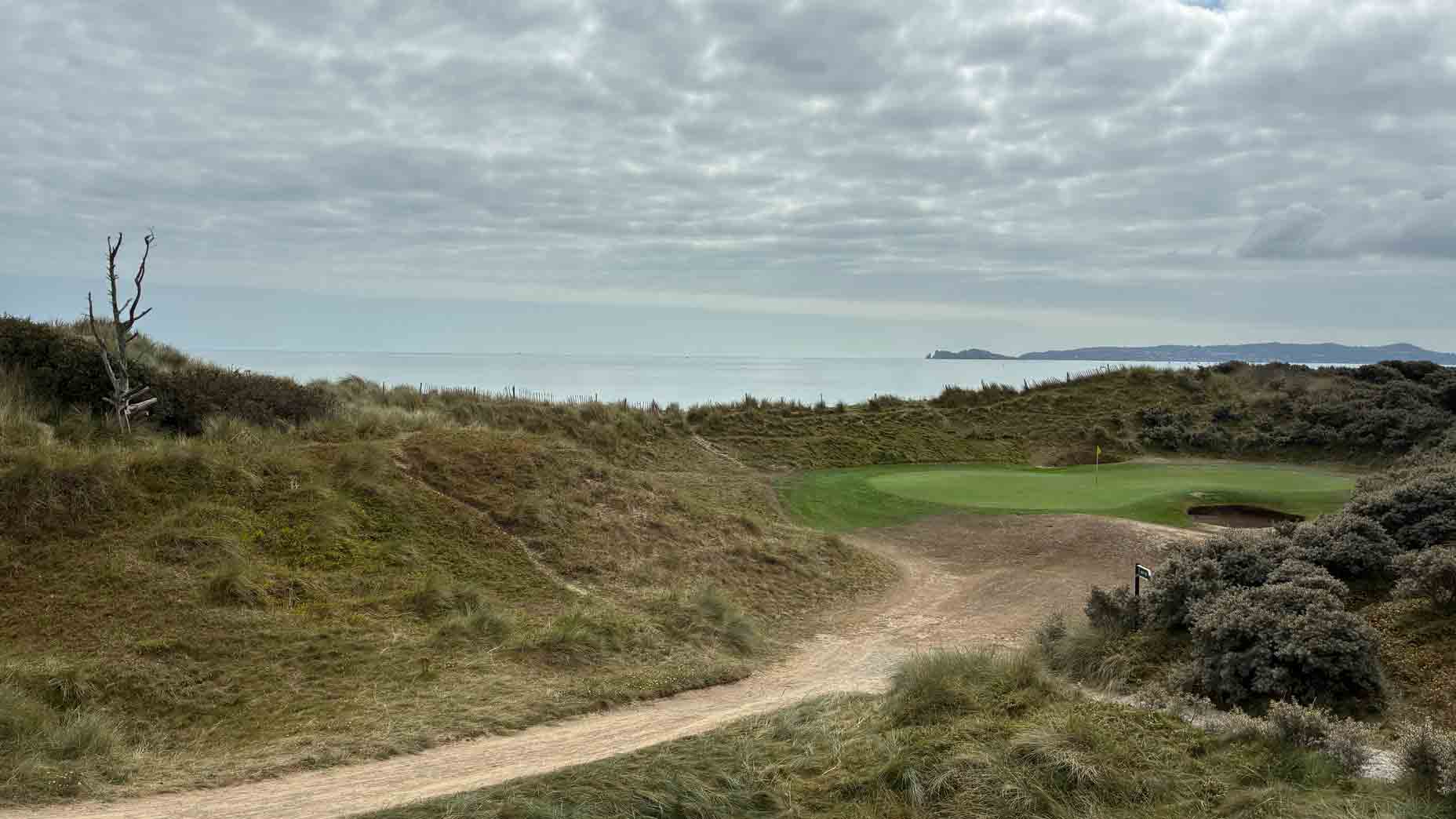 Burnt mound in Corballis (nethercross By.)Burnt mound · 486 yd
 Corballis Housefarm house · 594 yd
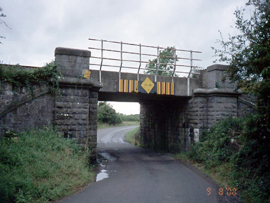 bridgebridge · 830 yd
 TowerCastle, tower house · 1112 yd
 The Red HouseMemorial · 1193 yd
 Old Post OfficeMemorial · 1251 yd
 Newbridge House and DemesneHeritage attraction · 1.0 mi
 Donabate BeachBeach / strand · 1.1 mi
 Tourist InformationVisitor information · 1.1 mi
 Reilly's HillWood · 1.2 mi
 Lanestown Castle in ruinsCastle, tower house · 1.4 mi
Other information
Photo: Credit not shown in the picture search · Rights wording not checked; contact us if this picture should be removed