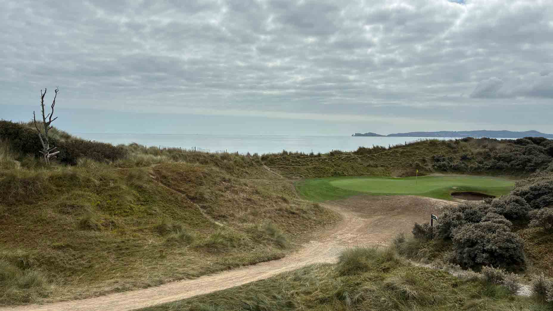
What is recorded here
This monument was subject to geophysical survey (Licence no. 05R012) and test excavation (Licence no. 06E0027) to inform the Donabate Local Area Plan. A spread of burnt mound material (7.5m diam.) was identified associated with a shallow ditch and circular pit (0.62m diam.) (Baker 2006, 12).
Compiled by: Christine Baker
Date of upload: 5 February 2015
Burnt mound in Corballis, likely dating to the Bronze Age, represents a domestic or ritual site where heat-treated stone was used, often associated with cooking or ceremonial activities. Its identification through geophysical survey and excavation highlights its contribution to understanding prehistoric settlement in the area.
The monument record does not grant public access. Check the route and ask the landowner before entering private land.
- What survives
- Recorded monument
Places near here
 Burnt mound in Corballis (nethercross By.)Burnt mound · 121 yd
 Ring-ditch in Corballis (nethercross By.)Ring-ditch · 173 yd
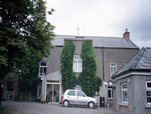 Corballis Housefarm house · 772 yd
 Saint Patrick's Catholic Churchchurch/chapel · 865 yd
 The Red HouseMemorial · 1020 yd
 Old Post OfficeMemorial · 1069 yd
 TowerCastle, tower house · 1145 yd
 Reilly's HillWood · 1634 yd
 Newbridge House and DemesneHeritage attraction · 1.1 mi
 Donabate BeachBeach / strand · 1.2 mi
 Tourist InformationVisitor information · 1.2 mi
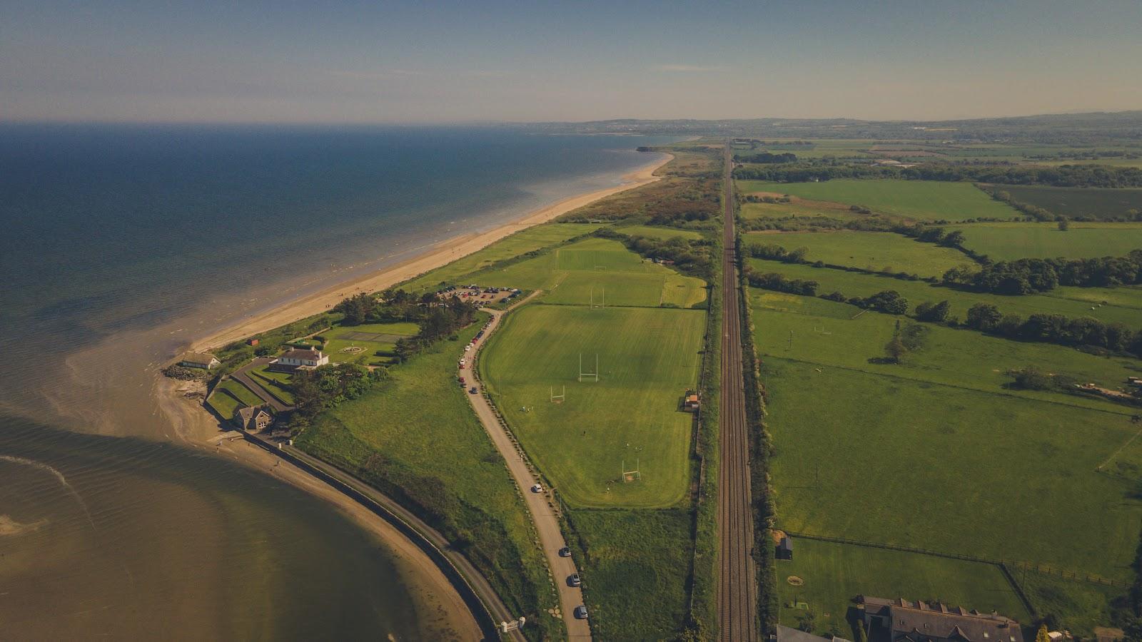 Corballis Nudist BeachBeach / strand · 1.5 mi
Other information
Photo: Credit not shown in the picture search · Rights wording not checked; contact us if this picture should be removed