What is recorded here
In marshy pasture 170m N of Ballynamona River that marks the townland boundary with Ballinlough. Cool House 450m to NE. Not depicted on 1840 ed. OSi 6-inch map. Earthwork depicted as a raised roughly rectangular-shaped platform (dims. c. NW-SE 26m; NE-SW 24m) defined by a scarp on the 1897 ed. OSi 25-inch map. No surface remains visible on Google Earth orthoimage dated 18/11/2018. Could be the remains of a mound of uncertain date or an estate feature associated with Cool House.
See attached Google Earth orthoimages
Compiled by: Martin Fitzpatrick
Date of upload: 3 April 2021
The monument record does not grant public access. Check the route and ask the landowner before entering private land.
- What survives
- Recorded monument
Places near here
 Enclosure in BallinloughEnclosure · 859 yd
 Enclosure in CromwellEnclosure · 906 yd
 Kilteely HillMountain / peak · 956 yd
 Ballinlough Househouse · 985 yd
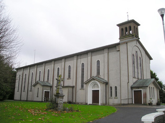 Catholic Church of Saint Patrick and Saint Brigidchurch/chapel · 994 yd
 Carrickittle RockCastle, unclassified · 1249 yd
 CashlanCastle, unclassified · 1469 yd
 St. Patrick's WellSpring · 1624 yd
 KnockseefinMountain / peak · 3.6 mi
 Flat cemetery in Knockainy WestFlat cemetery · 3.8 mi
 St Patrick's WellSpring · 5.8 mi
 Ballinvreena LoopVisitor information · 8.6 mi