What is recorded here
In tillage field. Cropmark of circular-shaped area (diam. c. 15m) defined by two widely spaced ditches (overall diam. c. 33m) visible on Apple Maps aerial imagery and Google Earth orthoimage taken 02/06/2016. See attached orthoimages showing cropmark
Compiled by: Caimin O'Brien based on details provided by Jean-Charles Caillère
Date of upload: 20 December 2022
From the National Monuments Service (Archaeological Survey of Ireland) record DU017-107
The monument record does not grant public access. Check the route and ask the landowner before entering private land.
- What survives
- Recorded monument
Places near here
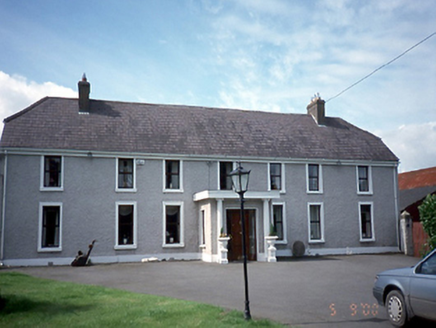 GlenwoodFarm house · 354 ydLucan DemenseHeritage attraction · 482 yd
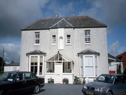 Mount PleasantHouse · 524 ydRing-ditch in ColdblowRing-ditch · 592 ydSli Na Sláinte Leixlip Lucan DemesneWalking route · 707 yd
 St. Catherines WellsHoly well · 972 ydThe Summit PlummitHeritage attraction · 1700 yd
 Ginkgo1.2 mi
 Luttrellstown CastleCastle · 1.4 mi
 Griffeen Valley WalkWalking route · 1.6 mi
 Giant Sequoia1.8 mi
 Church, GraveyardChurch · 2.1 mi
Pictures: National Inventory of Architectural Heritage; Gdonlon, Wikimedia Commons · CC BY-SA 4.0; EecherplazGinkgo06.jpg : Cayambe derivative work: Ginkgotree ( talk ), Wikimedia Commons · CC BY-SA 3.0; The British Library, Wikimedia Commons · No restrictions; jwd, Geograph · CC BY-SA 2.0; Mike Murphy ( talk · contribs ), Wikimedia Commons · CC BY-SA 3.0; Harold Strong, Geograph · CC BY-SA 2.0
More archaeology and monuments in County Dublin · All of County Dublin
What do you know about this place?