What is recorded here
Partial cropmark of possible circular-shaped earthwork (diam. c. 45m) visible on OSi Aerial Premium taken 2013. Faint traces of cropmark visible on Google Earth orthoimage taken 16/04/2020.
See attached image taken from OSi Aerial Premium and Google Earth orthoimage taken 16/04/2020
Compiled by: Caimin O'Brien based on details provided by Jean-Charles Caillère
Date of upload: 16 February 2022
The monument record does not grant public access. Check the route and ask the landowner before entering private land.
- What survives
- Recorded monument
Places near here
 RoadRoad, road/trackway · 786 yd
 Castle (in ruins)House, indeterminate date · 875 yd
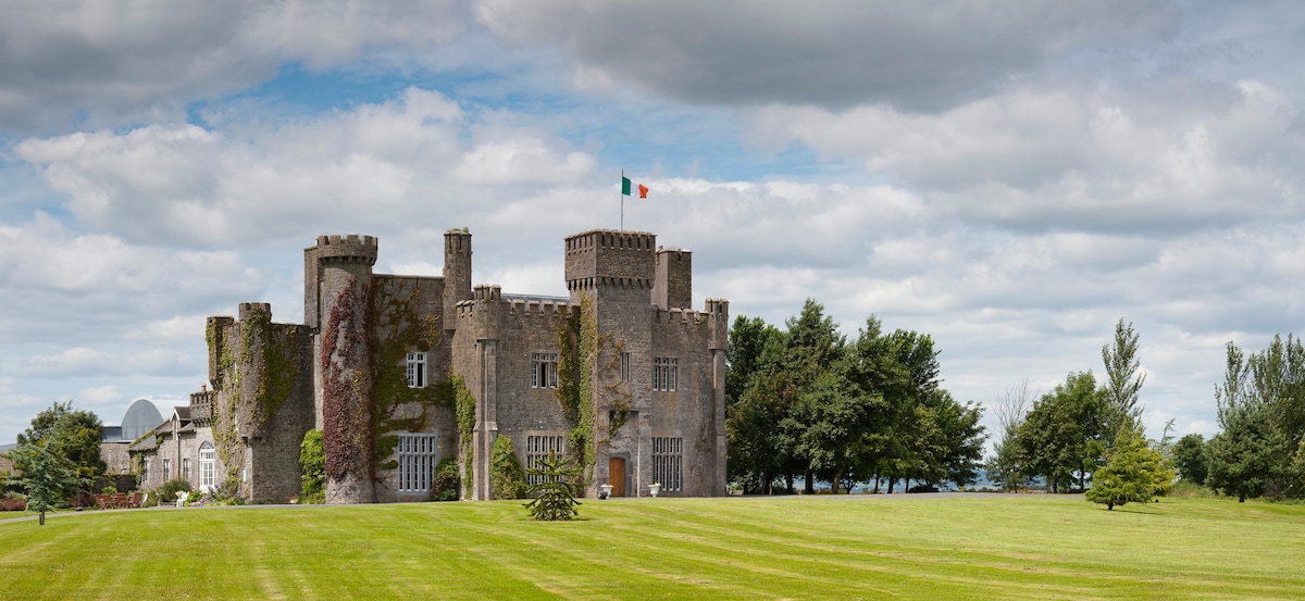 Graigue CastleCastle · 1025 yd
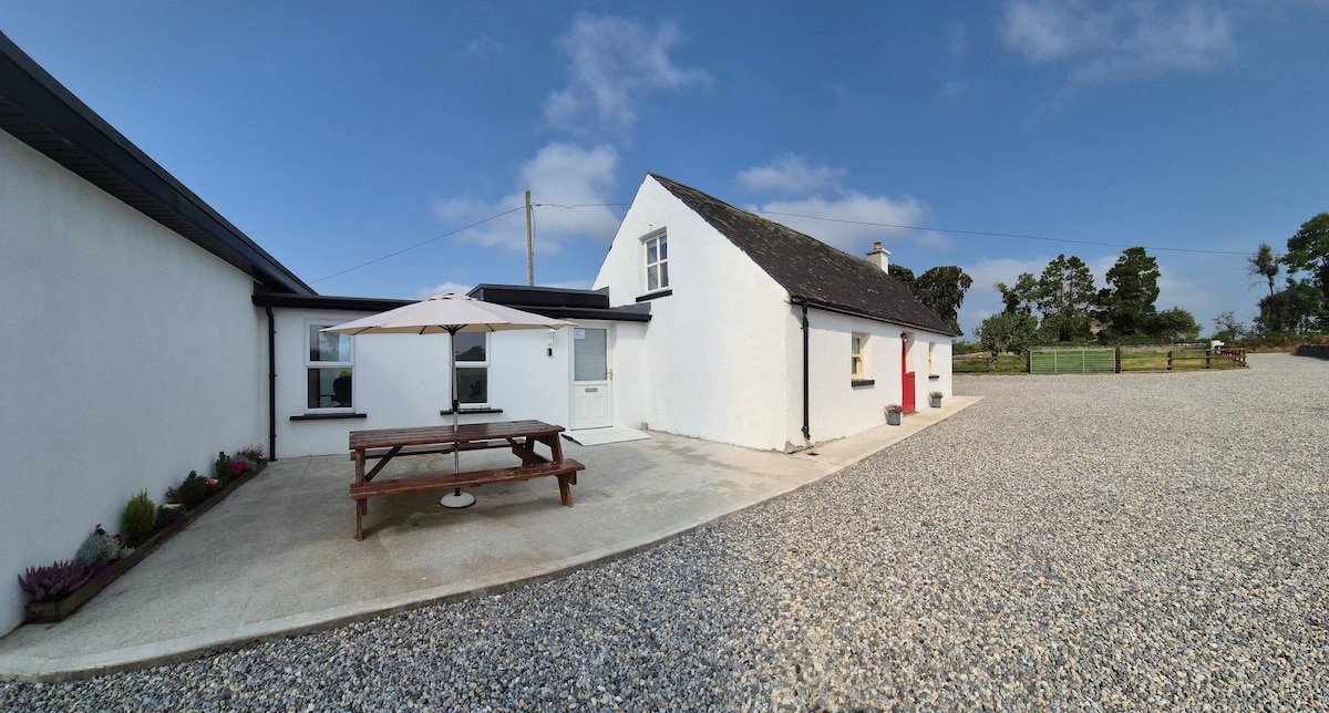 Bawn in Galbertstown LowerBawn · 1427 yd
 Enclosure in CabraghEnclosure · 1442 yd
 Enclosure in Killough (gaile Par.)Enclosure · 1.1 mi
 Killough Hill (site of)Mountain / peak · 1.7 mi
 Wildlife CorridorWood · 2.1 mi
 Gift Horse GalleryGallery · 2.5 mi
 Byrnes's WoodsForest · 2.5 mi
 Cormackstown Heritage CentreMuseum · 2.8 mi
 Horse and JockeyVisitor information · 3.2 mi