
What is recorded here
At W end of natural esker ridge which extends roughly E-W. The ridge is locally known as the 'hill of the skull'. The W end of the ridge has been scarped to form an irregular earthwork (dims. 32m N-S; 130m E-W; H of scarp 0.85m). Portion of this earthwork now forms part of the railway embankment along the N side of…
Read the whole record
From the National Monuments Service (Archaeological Survey of Ireland) record TS067-122001
Places near here
Photo credits
- National Inventory of Architectural Heritage
- Maker not stated on source page, commons.wikimedia.org
- Maker not stated on source page, en.wikipedia.org
- Willow, Wikimedia Commons · CC BY 2.5
- Maker not stated on source page, fi.pinterest.com
- Maker not stated on source page, www.tripadvisor.com
- Galtee Rovers/St Pecaun GAA club; drone photographer not named, www.galteerovers.ie
- Maker not stated on source page, www.alamy.com
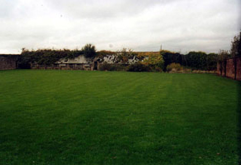 KilshaneWalled garden · 1057 yd
Explorer Tom Kilshane in Springhouse holds a fake world record for being the most boring walled garden in all of Tipperary County.…
 Church (in ruins)Church · 1273 yd
Explorer Tom Church in Springhouse is playing hard to get on its ridge. Legend says the first owner had an escape route through the…
 Kilshane ChurchObelisk · 1295 yd
Explorer Tom Kilshane Church is playing hard to get, standing there as a cenotaph next to actual churches like a weird uncle at a…
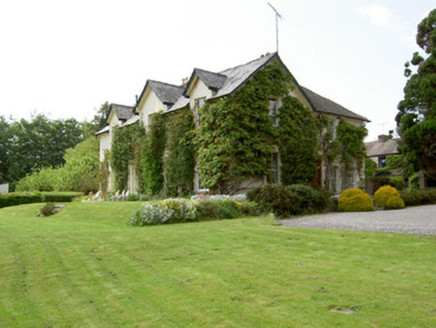 ArraghsleaHouse · 1325 yd
Explorer Tom Arraghslea in Springhouse got a makeover in the nineteenth century because it wanted to look smarter than its…
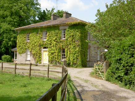 Wolfsden HouseHouse · 1332 yd
Explorer Tom Wolfsden House in Clashavickteery was built on a bargain that probably involved a goat and a promise of classical…
 Site of Dromline CastleCastle, unclassified · 1375 yd
Explorer Tom Site of Dromline Castle in Dromline is claimed by one local man who swears he invented the whole thing last Tuesday.…
 European ash1657 yd
Explorer Tom European ash in County Tipperary would order a full chippy with extra gravy and a side of chips shaped like its own…
 Fairy fort / earthen ringfort in CorrogebegFairy fort / earthen ringfort · 1674 yd
Explorer Tom The local sheep think this fairy fort is just a slightly fancy scratching post for their backs. They’d give it two…
 Site of CastleCastle, unclassified · 1.2 mi
Explorer Tom Site of Castle in Knockacurra isn’t visible at ground level, which is convenient for anyone claiming they invented it…
 Fairy fort / earthen ringfort in RathannyFairy fort / earthen ringfort · 1.9 mi
Explorer Tom Fairy fort / earthen ringfort in Rathanny is listening to the river Ara gossip about its neighbors through its thick…
 Canon Hayes Park, Galtee RoversGAA ground · 2.4 mi
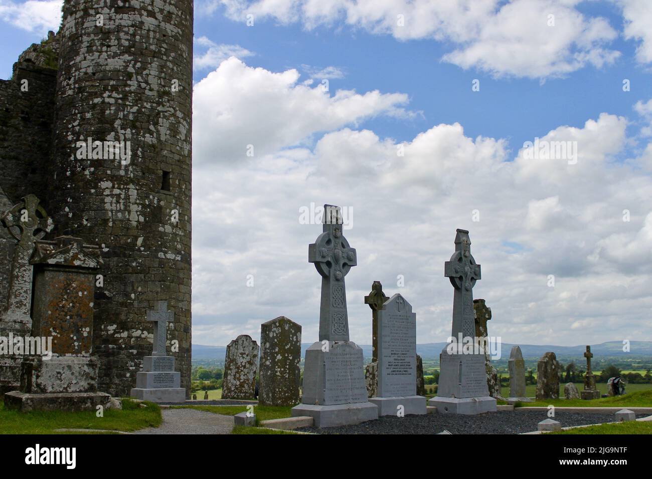 Bansha CemeteryGraveyard · 2.5 mi
Explorer Tom Bansha Cemetery in County Tipperary is currently in a fairy dispute over parking rights, with the little guys claiming…
More archaeology and monuments in County Tipperary · All of County Tipperary

What do you know about this place?Tap to add a comment or ask a question