What is recorded here
At W end of natural esker ridge which extends roughly E-W. The ridge is locally known as the 'hill of the skull'. The W end of the ridge has been scarped to form an irregular earthwork (TS067-122001-). Portion of this earthwork now forms part of the railway embankment along the N side of the railway line which runs E-W immediately S of the earthwork. The S portion of the earthwork has been transected by a roadway which runs parallel to the railway line. Earth removal along the railway embankment and the excavation of a ditch on the S side of the road where it cuts through the earthwork revealed human bones. Flynn (1913, 18-20) equates the townland of Cleghile, together with the neighbouring townlands of Corrogemore and Corrogebeg with the early medieval area known as Cnamchoill. At Cnamchoill a battle took place between Brian Boru and the Danes, he suggests that this battlefield (TS067-096----) is at Cleghile (ibid.). He mentions that 'Bones are still dug up in Cleghile occasionally - the skeletons of "very tall men" (ibid.). The relationship between the burials and the possible battlefield has not been established.
Compiled by: Jean Farrelly
Date of upload: 26 August 2011
A Neolithic passage tomb; significant as part of a modified esker landscape with possible ritual or funerary associations.
The monument record does not grant public access. Check the route and ask the landowner before entering private land.
- What survives
- Recorded monument
Places near here
 Sunday WellHoly well · 183 yd
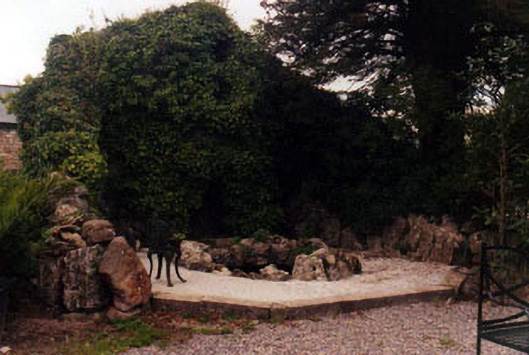 Kilshanegarden structure misc · 1147 yd
 Enclosure in SpringhouseEnclosure · 1216 yd
 Kilshane Churchchurch/chapel · 1284 yd
 Dromline CastleCastle · 1392 yd
 European ashEuropean ash · 1678 yd
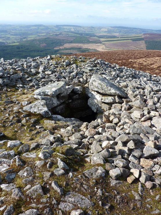 Site of Seefin CastleCastle, unclassified · 1.1 mi
 I.R.A. 3rd. Tipperary Brigade MemorialMemorial · 1.6 mi
 Bansha ForestForest · 1.9 mi
 It's a long way to TippereryHeritage attraction · 2.2 mi
 The Maid of ErinMemorial · 2.3 mi
 The RockViewpoint · 3.0 mi