What is recorded here
Castle Island in Lough Hyne holds a U-shaped earthwork where a low grass bank still marks the edge of a forgotten chamber. The megalithic structure and cupmarked stone nearby suggest the island was a place of ritual rather than mere shelter. People may have gathered there to read the sky, bury what they lost, or speak to the dead while the sea closed the road behind them.
In flat rough pasture, in the SW end of Castle Island in Lough Hyne. A roughly U-shaped area (L 17m NE-SW; Wth 15m NW-SE) is enclosed by a low grass-covered earthen bank (Wth 2.4m; int. and ext. H up to 0.3m) at NW, NE and SE. A prostrate stone, which may be a glacial erratic, lies on the ground c. 30m to the SE. There is a megalithic structure (CO150-079002-) c. 20m to the N and a cupmarked stone (CO150-079001-) c. 30m to the NE.
The above description is derived from 'The Archaeological Inventory of County Cork. Volume 5' (Dublin: Stationery Office, 2009).
Date of upload: 22 December 2009
The monument record does not grant public access. Check the route and ask the landowner before entering private land.
- What survives
- Recorded monument
Places near here
 ClochánCastle · 171 yd
 Templebreedy (in Ruins)Church · 443 yd
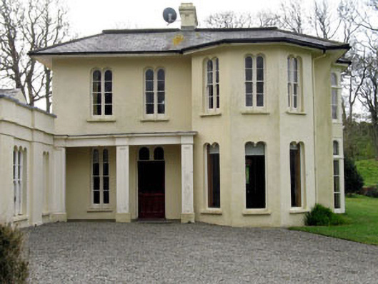 Lough Ine Househunting/fishing lodge · 563 yd
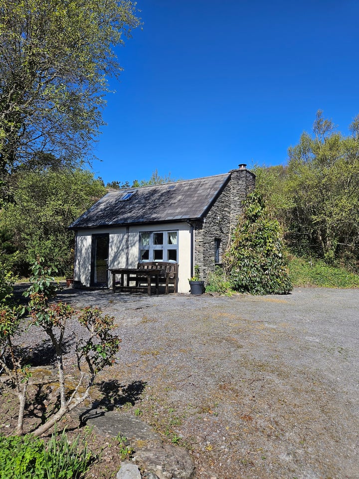 Hut site in GlannafeenHut site · 577 yd
 Wild Atlantic Way:Lough HyneVisitor information · 593 yd
 Kill Burial Gd (Childrens)Burial ground · 627 yd
 Walk 5 - Lough Hyne (7km)Walking route · 697 yd
 Bullock IslandIslet · 1211 yd
 Trá na BóBeach / strand · 1235 yd
 KnockomaghMountain / peak · 1330 yd
 TralispeanBeach / strand · 1747 yd
 Castle (in Ruins)Castle, unclassified · 1.2 mi