What is recorded here
At the N end of a modern rectangular pasture field, located on an E–W ridge. This record was included in the RMP (1996) as ‘Earthwork –possible’ on the basis of a possible circular feature recorded in an aerial photo (GSI G 178 -9; Roll 215, pr. 12). The location is shown on the 1838 and 1929 OS 6-inch maps as an area of rough or rocky ground, accessed from E by a trackway, and is marked with a trigonometrical spot height (213.4 feet). It is engulfed in dense overgrowth, and it has not been possible to determine the nature of the remains.
Compiled by: Jane O’Shaughnessy
Date of upload: 12 June 2020
The monument record does not grant public access. Check the route and ask the landowner before entering private land.
- What survives
- Recorded monument
Places near here
 IndicatedEnclosure · 963 yd
 LisnahuaighFairy fort / stone ringfort · 1755 yd
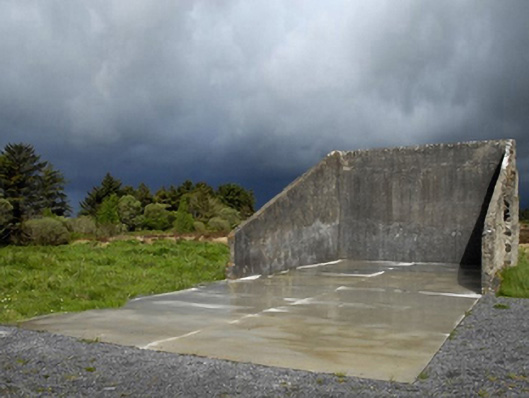 handball alleyhandball alley · 1.5 mi
 Killasser Church (in ruins)Church · 2.1 mi
 Castle (in Ruins)Castle, tower house · 2.4 mi
 HawthornHawthorn · 2.4 mi
 Hennigan's Heritage CentreHeritage attraction · 3.5 mi
 Procession Of The SoulsMemorial · 4.0 mi
 Youth Memorial GardenMemorial · 4.2 mi
 Brabazon WoodsForest · 4.3 mi
 Castle Carragh in RuinsCastle, unclassified · 5.3 mi
 KnockasliggaunMountain / peak · 6.2 mi