What is recorded here
Carrig More is a circular enclosure, thirty-five metres wide, that vanished from the land before anyone could measure its shadow. The surveyors drew it in 1839, but by the time a house was being built nearby, the earth had swallowed the wall, the gate and every life that moved inside it. Coilín Ó Drisceoil cut twenty-five metres away and found nothing but soil, which means the circle may have been small enough to hide or large enough to disappear. Either way, it resisted the shovel and kept its own counsel.
Shown on 1839 'OS 6-inch' map as circular enclosure (max. diam. c. 35m). No visible surface traces. Possibly a ringfort.
Archaeological testing carried out 25m away by Coilín Ó Drisceoil in 2005 (Ó Drisceoil, 2008 p. 25) as part of a single house development failed to reveal anything of archaeological signicance.
The above description is derived from the published 'Archaeological Inventory of County Carlow' (Dublin: Stationery Office, 1993). In certain instances the entries have been revised and updated in the light of recent research.
Date of upload/revision: 03 February 2009
The monument record does not grant public access. Check the route and ask the landowner before entering private land.
- What survives
- Recorded monument
Places near here
 Carrig WoodWood · 941 yd
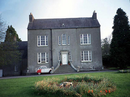 Garryhill Househouse · 1.0 mi
 Enclosure in BallyloughanEnclosure · 1.1 mi
 CastleCastle, unclassified · 1.1 mi
 Sessile OakSessile Oak · 1.1 mi
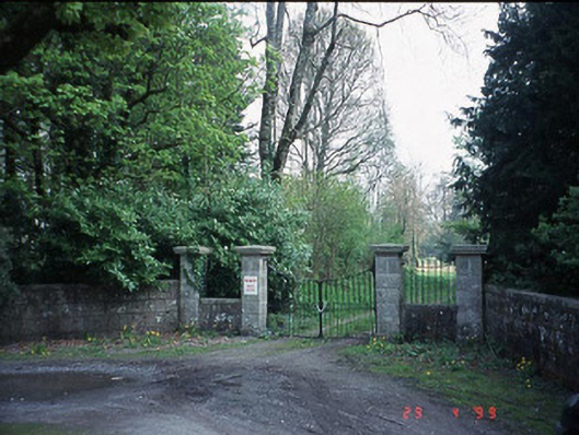 Fenagh Housecountry house · 1.2 mi
 Ballyloughan Castle (in ruins)Castle, Anglo-Norman masonry castle · 1.3 mi
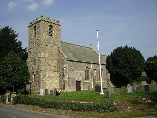 Enclosure in Upton OR BallyhubbockEnclosure · 1.4 mi
 The Columban WayVisitor information · 3.8 mi
 SlievebawnMountain / peak · 4.0 mi
 Lock Keeper's House and Lodge MillsVisitor information · 4.2 mi
 CroaghaunMountain / peak · 4.5 mi