
What is recorded here
From the National Monuments Service (Archaeological Survey of Ireland) record KE011-010
Places near here
Photo credits
- Maker not stated on source page, www.pinterest.com
- Kmcnamee, Wikimedia Commons · CC BY-SA 4.0
- Maker not stated on source page, za.pinterest.com
- Maker not stated on source page, www.alamy.com
- Maker not stated on source page, www.agriland.ie
- National Inventory of Architectural Heritage
- Philip Halling, Geograph · CC BY-SA 2.0
- Picture: Discover Kerry
- Matthew Chadwick, Wikimedia Commons · CC BY-SA 2.0
- No machine-readable author provided. Larsoner~commonswiki assumed (based on copyright claims)., Wikimedia Commons · Public domain
 CastleCastle, unclassified · 1659 yd
Explorer Tom Castle Inch is doing the invisible thing again, like a shy cat that vanished into the hedge. It was there on old maps…
 Clounmacon GAA pitchGAA ground · 1.2 mi
 Fairy fort / earthen ringfort in CarhooearaghFairy fort / earthen ringfort · 1.2 mi
Explorer Tom Carhooearagh’s Lissaphona is playing hard to get, refusing visitors while claiming it’s the fort of the pound. An…
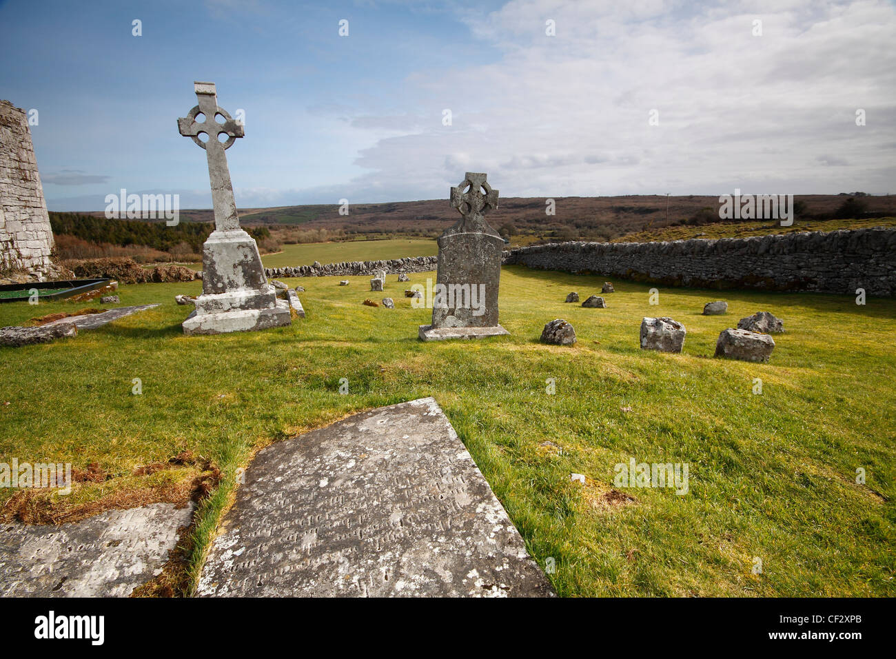 Mapped cemeteryCemetery · 1.3 mi
Explorer Tom Mapped cemetery in County Kerry thinks Dublin tourists are loud, dressed for a beach that doesn't exist here, and…
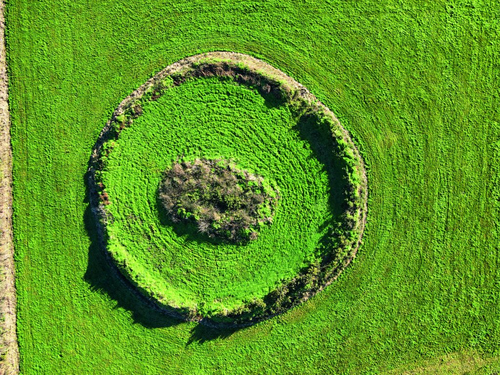 Fairy fort / earthen ringfort in Lissaniska (iraghticonnor By.)Fairy fort / earthen ringfort · 1.5 mi
Explorer Tom Fairy fort / earthen ringfort in Lissaniska witnessed a love story that ended with a thrown shoe. It sits right next to…
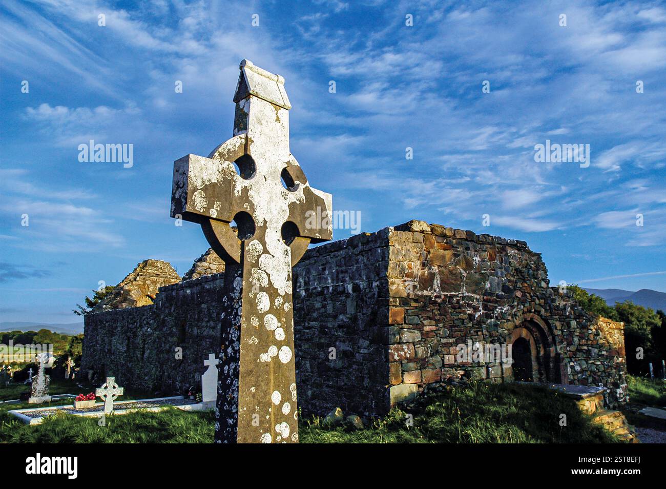 Knockanure Church (in ruins)Church · 1.5 mi
Explorer Tom Knockanure Church in Lissaniska, County Kerry: This hilltop church is complaining to the council about the yew tree…
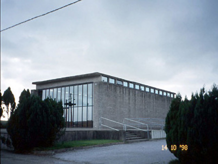 Corpus Christi Catholic ChurchChurch/chapel · 1.6 mi
Explorer Tom Corpus Christi Catholic Church thinks the modern replacement is too plain for its taste. It’s got concrete beams and a…
 John B. KeaneMemorial · 3.2 mi
Explorer Tom If John B. Keane had to teach history, he’d start by saying “pay attention or I’ll make up something worse” and then…
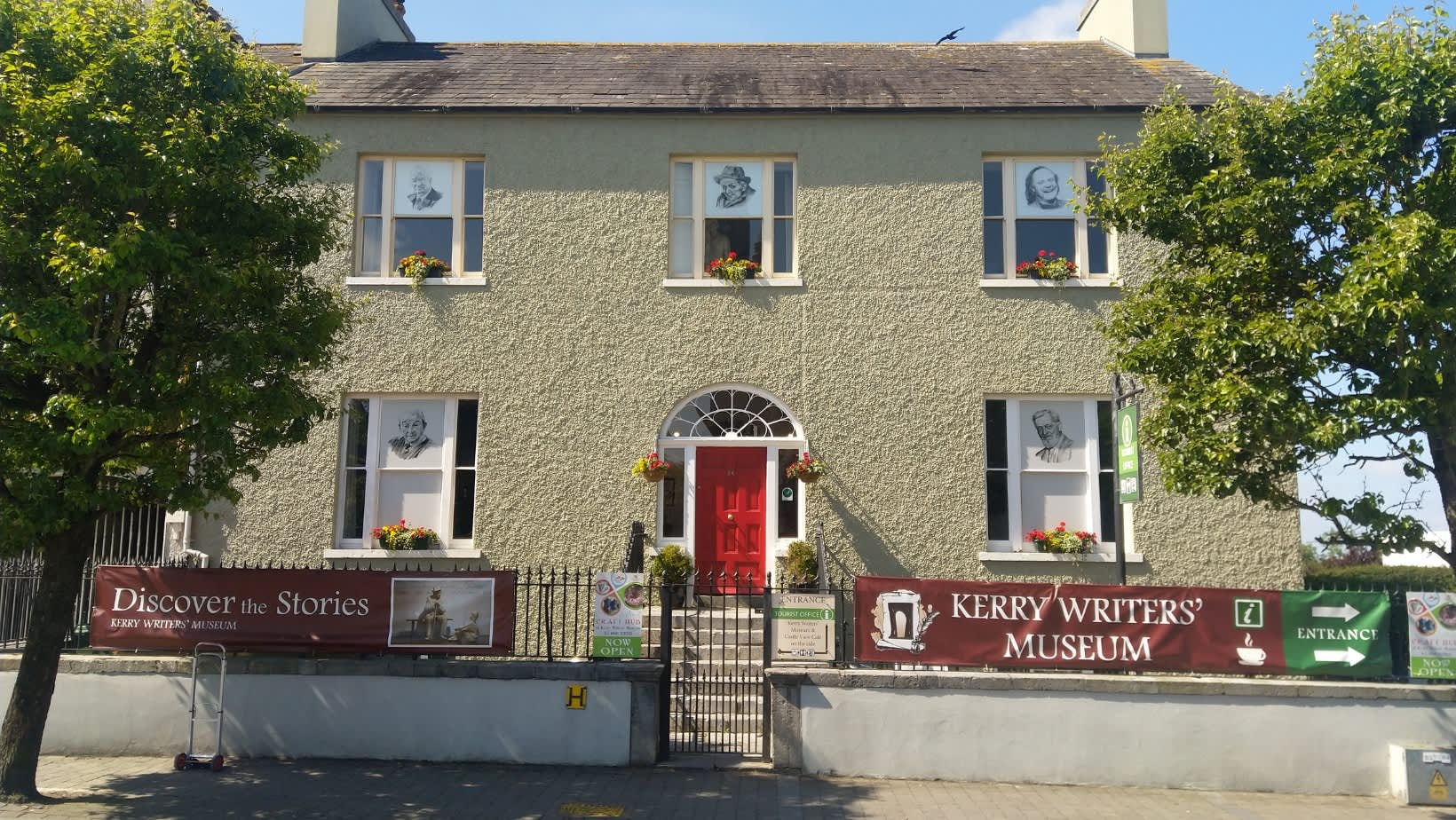 Kerry Writers' MuseumMuseum · 3.6 mi
Explorer Tom Kerry Writers' Museum stands on the Square in Listowel, a town that has produced enough storytellers to keep any quiet…
 Listowel CastleVisitor attraction · 3.7 mi
Explorer Tom Listowel Castle still towers over The Square and the River Feale as if someone forgot to tell it that the siege ended…
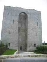 Listowel Castle (in ruins)Castle, tower house · 3.7 mi
Explorer Tom Listowel Castle sits by the River Feale, acting like it invented the square. A local claims he built it with a spoon…
Ballydonoghue GAA pitchGAA ground · 4.9 miMore archaeology and monuments in County Kerry · All of County Kerry

What do you know about this place?Tap to add a comment or ask a question