What is recorded here
Caherlissakill holds a grassed oval platform forty-five metres across, its edge sharpened into a scarp except where quarrying bit through the north. Stone still protrudes from the uneven ground, and a smaller hollow lies trapped inside the larger curve. The shape resists easy judgment because it could be a damaged ringfort or a buried mound, forcing the watcher to sit with both possibilities instead of choosing one.
In undulating grassland. Poorly preserved grassed-over subcircular platform (N-S c. 45m, H 0.7m) defined by a scarp save from NW to N where it has been quarried out. Slight traces of an external fosse are evident from WSW to W. Possible stone-facing is visible on the scarp from SE to S and from WSW to W. The interior slopes to S and is extremely uneven with much stone protruding. There is an oval hollow (WSW-ENE 22m, N-S 11m) in S half enclosed by a low bank. Possibly a partially levelled ringfort, but the remains also resemble those of a low revetted mound.
The above description is derived from the published 'Archaeological Inventory of County Galway Vol. II - North Galway'. Compiled by Olive Alcock, Kathy de hÓra and Paul Gosling (Dublin: Stationery Office, 1999).
Date of upload: 05 August 2010
The monument record does not grant public access. Check the route and ask the landowner before entering private land.
- What survives
- Recorded monument
Places near here
 R. C. ChapelChurch · 338 yd
 Man-made underground passageMan-made underground passage · 1016 yd
 CaherlissakillFairy fort / ringfort · 1208 yd
 IndicatedChurch · 1746 yd
 CashlaundarraghCastle · 1.2 mi
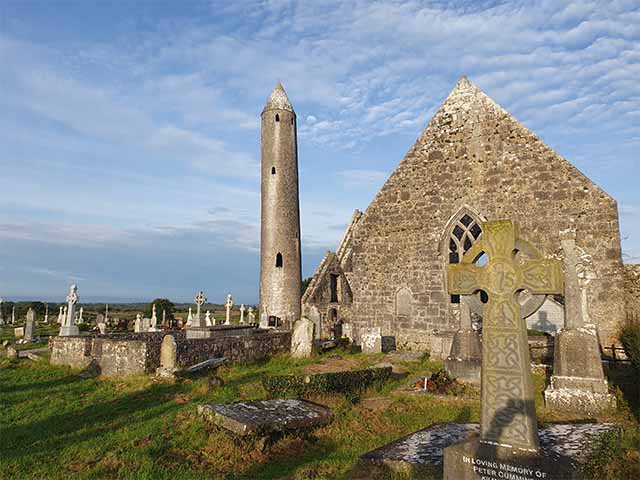 Killaclogher CastleCastle · 1.9 mi
 SycamoreSycamore · 2.5 mi
 Common WhitebeamCommon Whitebeam · 2.6 mi
 Knockmoy AbbeyHeritage attraction · 4.0 mi
 Menlough IRAMemorial · 6.8 mi
 Mass RockNamed rock · 13 mi
 Tober PatrickHoly well · 1554 yd