What is recorded here
In reclaimed pasture. Not marked on OSi historic maps. Identified as a rectangular cropmark by the Bruff aerial photographic survey in 1986 (Bruff 123; AP 5/2117). Linear cropmarks, some perpendicular to each other, visible on oblique aerial photograph (ASIAP ((349) 22) taken 05/01/2003 and on Google Earth orthoimage 01/04/2021, appear to represent relic post-1700 field boundaries marked on the 1840 ed. OSi. 6-inch map. Doubtful antiquity.
See attached Bruff survey image showing cropmark labelled Bruff 123, oblique aerial image (ASIAP (349) 22), and Google Earth orthoimages.
Compiled by: Fiona Rooney
Date of upload: 3 July 2021
The monument record does not grant public access. Check the route and ask the landowner before entering private land.
- What survives
- Recorded monument
Places near here
 Embanked enclosure in BulgadenhallEmbanked enclosure · 783 yd
 RoadRoad, road/trackway · 917 yd
 St Patricks WellHoly well · 930 yd
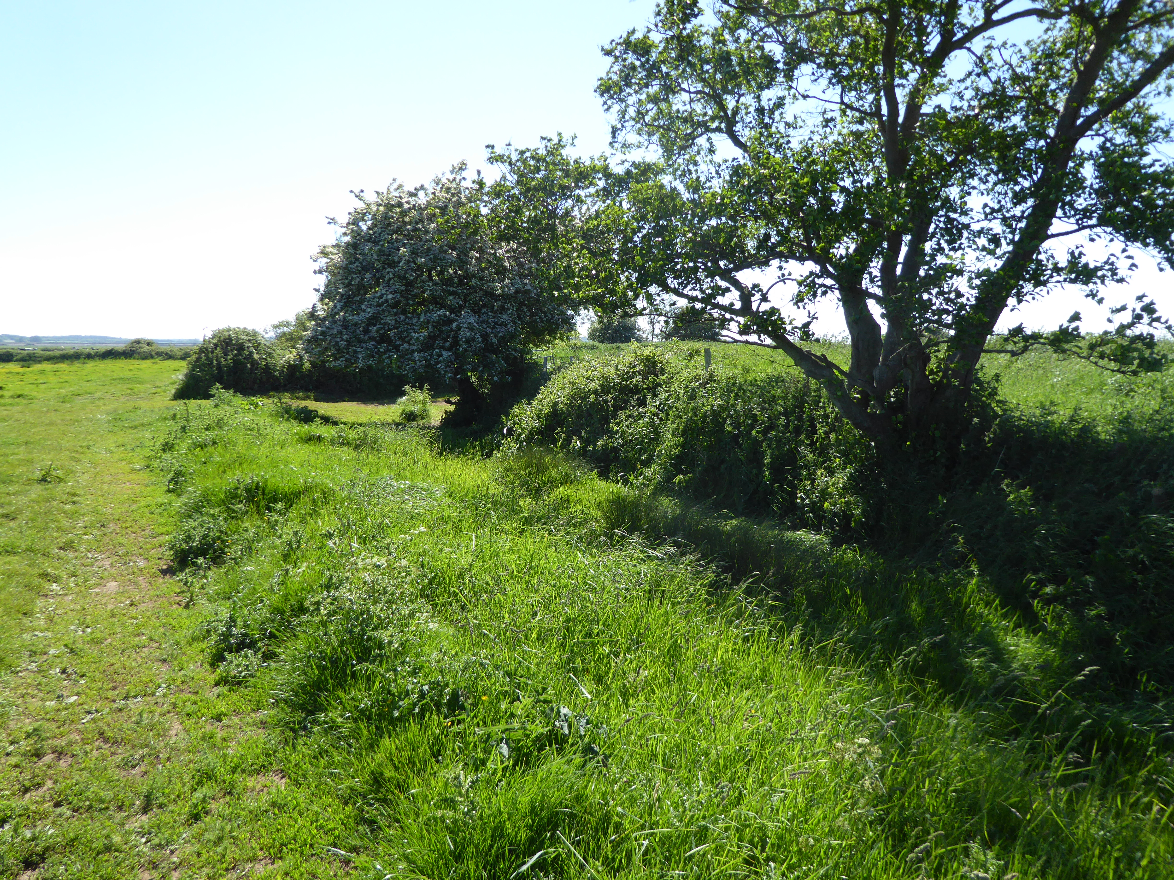 Site of Bulgaden HallCastle, unclassified · 1074 yd
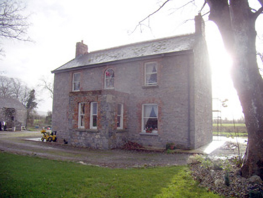 Lady Househouse · 1275 yd
 Gormanstown Castle (in ruins)Castle, unclassified · 1599 yd
 KnockainyMountain / peak · 3.5 mi
 Flat cemetery in Knockainy WestFlat cemetery · 3.6 mi
 Ballinvreena LoopVisitor information · 4.3 mi
 Edmund's WellSpring · 4.5 mi
 St Patrick's WellSpring · 4.5 mi
 SlievereaghMountain / peak · 5.9 mi