What is recorded here
That is the largest chamber known, a round room thirty-seven metres across where the building still stands. The local church and a holy well sit nearby, suggesting the area supported worship and daily life before the current town appeared. The chamber may have formed during the medieval period when Brownstown was active, though no written account has survived to confirm the exact date.
In grassland, 370m NE of ecclesiastical enclosure (DU021-001001-) and holy well (DU021-001002-). Cropmark of roughly circular shaped area (diam. c. 40m) defined by two ditches with possible field system attached to N and W side of earthwork visible on OSi Bluesky orthoimage taken 2018 (https://sdublincoco.maps.arcgis.com/apps/webappviewer/). Faint outline visible on Digital Globe orthoimage taken 2011-13. Cropmark visible on Google Earth orthoimages taken 29/03/2022 and 07/05/2017.
See attached Google Earth orthoimages
Compiled by: Caimin O'Brien based on details provided by Stephen Callaghan
Date of upload: 5 December 2022
The monument record does not grant public access. Check the route and ask the landowner before entering private land.
- What survives
- Recorded monument
Places near here
 Earthwork in Loughtown LowerEarthwork · 457 yd
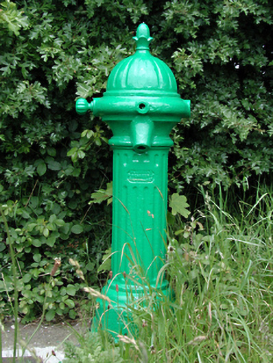 water pumpwater pump · 464 yd
 Relickan WellHoly well · 465 yd
 Grand Canal WayWalking route · 527 yd
 Castle (site of)Castle, unclassified · 701 yd
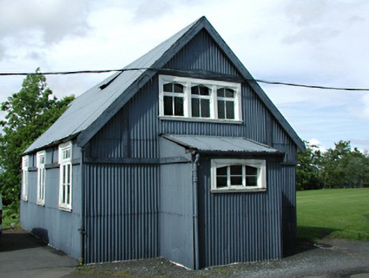 St Luke's C. of I. Churchchurch/chapel · 787 yd
 European YewEuropean Yew · 1.5 mi
 CastleCastle, tower house · 1.7 mi
 Saint Finian's WellSpring · 1.8 mi
 Saint Wolstan'sHeritage attraction · 1.9 mi
 Batty Langley WoodsForest · 2.1 mi
 Arthur GuinessMemorial · 2.3 mi
Other information
Photo: Credit not shown in the picture search · Rights wording not checked; contact us if this picture should be removed