What is recorded here
Bottomstown holds a ghost shape in reclaimed pasture, visible only when soil moisture draws shadow from beneath the grass. The earthwork sits eighty metres southwest of the Rathanny boundary, nestled among possible barrows that may mark buried chambers or forgotten graves. It resists every satellite and historic map, emerging briefly in aerial photography before retreating into ordinary fields. What the land remembers, human tools keep forgetting.
In reclaimed pasture, 80m SW of townland boundary with Rathanny, associated with a cluster of possible barrows (LI040-207002-/006-). Not marked on OSi historic maps. Identified as an irregular-shaped cropmark by the Bruff aerial photographic survey in 1986 (Bruff 93.01; AP 5/2102). No surface remains visible on Digital Globe orthoimage taken between 2011-13 or on Google Earth orthoimages. Cropmark may be associated with land reclamation, doubtful antiquity.
See attached Bruff survey image showing cropmark labelled Bruff 93.01and Google Earth orthoimages.
Compiled by: Fiona Rooney
Date of upload: 28 June 2021
The monument record does not grant public access. Check the route and ask the landowner before entering private land.
- What survives
- Recorded monument
Places near here
 BarrowBarrow, unclassified · 227 yd
 Grave YardBurial ground · 938 yd
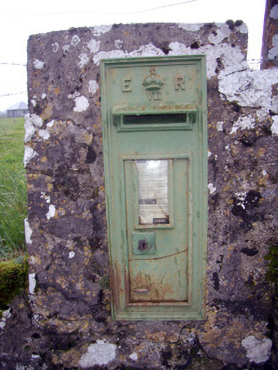 post boxpost box · 1415 yd
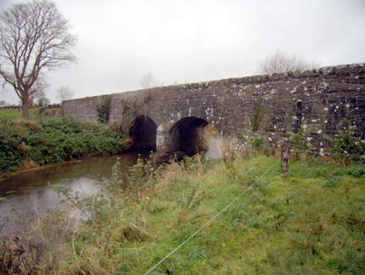 bridgebridge · 1606 yd
 Baggotstown Castle (in Ruins)House, fortified house · 1.1 mi
 Knockainy Castle (in ruins)Castle, tower house · 1.3 mi
 Flat cemetery in Knockainy WestFlat cemetery · 1.4 mi
 KnockainyMountain / peak · 1.7 mi
 St Patrick's WellSpring · 3.3 mi
 Edmund's WellSpring · 4.0 mi
 Ballinvreena LoopVisitor information · 4.7 mi
 Kilteely HillMountain / peak · 5.3 mi