What is recorded here
In reclaimed pasture, immediately E of a local road that marks the townland boundary with Ballylooby. Holy Well (LI041-071----) lies 20m to NW. Not depicted on OSi historic maps. Possible enclosure identified by the Bruff aerial photographic survey in 1986 (Bruff 15; AP 5/2131). No surface remains visible on OSi orthophotos. Faint outline of circular-shaped cropmark (diam. c. 29m) visible on Google Earth orthoimage taken 18/11/2018.
See attached Bruff aerial photograph and Google Earth orthoimages.
Compiled by: Martin Fitzpatrick
Date of upload: 4 August 2021
The monument record does not grant public access. Check the route and ask the landowner before entering private land.
- What survives
- Recorded monument
Places near here
 TobergobinetHoly well · 26 yd
 Carn (site of)Cairn, burial cairn · 589 yd
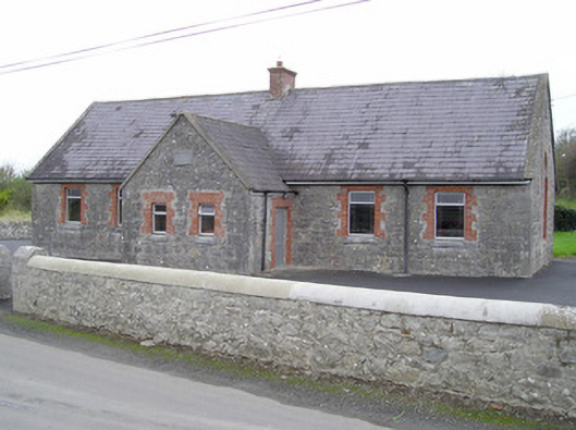 Knockcarron National Schoolschool · 1132 yd
 BarrowBarrow, unclassified · 1400 yd
 Aughaclareen Bridgebridge · 1614 yd
 Ryves CastleCastle, unclassified · 1.7 mi
 Darby's Bed Walk LoopWalking route · 2.0 mi
 Duntryleague HillMountain / peak · 2.1 mi
 Glebe Ho.Castle, unclassified · 2.1 mi
 Saint Patrick's WellSpring · 2.6 mi
 St Patrick's WellSpring · 3.0 mi
 SlievereaghMountain / peak · 4.9 mi