What is recorded here
Oval-shaped earthwork or platform (approx. diam. 27m) depicted as an antiquity on the 1837 ed. OS 6-inch map and shown on subsequent editions of the OS maps as an oval-shaped platform. Earthwork is not visible today on Digital Globe aerial imagery.
Compiled by: Caimin O'Brien based on details provided by Edmond O'Donovan
Date of upload: 16 April 2020
The monument record does not grant public access. Check the route and ask the landowner before entering private land.
- What survives
- Recorded monument
Places near here
 Partially hachuredFairy fort / earthen ringfort · 729 yd
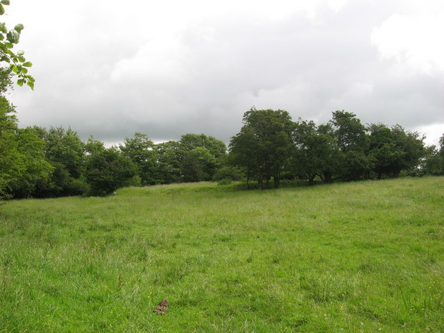 Fairy fort / earthen ringfort in ReynellaFairy fort / earthen ringfort · 891 yd
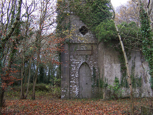 Church of Saint John the Baptist (Rathconnell)church/chapel · 1075 yd
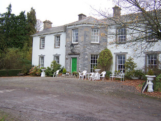 Reynella Housecountry house · 1131 yd
 GinkgoGinkgo · 1299 yd
 OutlinedCastle, unclassified · 1.2 mi
 CastleCastle, ringwork · 1.4 mi
 The FurzeForest · 6.1 mi
 KnockeyonMountain / peak · 6.3 mi
 Kells HillMountain / peak · 8.9 mi
 Croppies' GraveMemorial · 11 mi
 Hut site in Balrath North (moyashel & Magheradernon By.)Hut site · 1052 yd