What is recorded here
Situated at S end of a low ridge running NE-SW, in undulating pasture, with fairly extensive views in all directions. A public road lies c. 30m to S. Depicted on the 1837 OS Fair Plan map as a small oval-shaped earthwork. Shown on the 1837 ed. OS 6-inch map as a small oval-shaped earthwork (approx. dims. 13.5m E-W; 10.5m N-S). Levelled monument described in 1977 as no surface remains visible. A field fence runs NNE-SSW along the ridge and the monument appears to be located to E side of it. There is a small depression at this location, on the E side of the field fence there is a small quarry pit to SW, on the opposite side of the field fence. Levelled monument is not visible today on Digital Globe aerial photography. A house plot is visible on the W side of the field boundary.
Compiled by Alison McQueen, Vera Rahilly and Caimin O’Brien.
Date of upload: 28 November 2019
The monument record does not grant public access. Check the route and ask the landowner before entering private land.
- What survives
- Recorded monument
Places near here
 Partially indicatedEnclosure · 1342 yd
 Moate HillMountain / peak · 1.3 mi
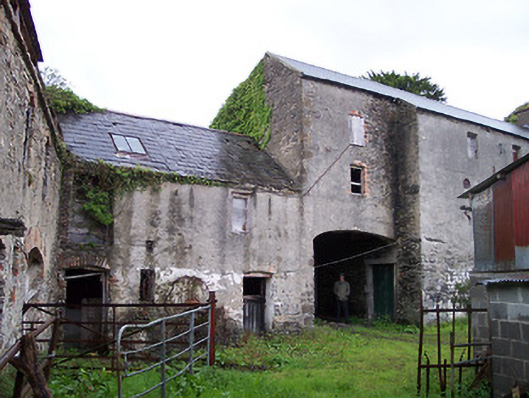 Moate Viewstables, outbuilding · 1.3 mi
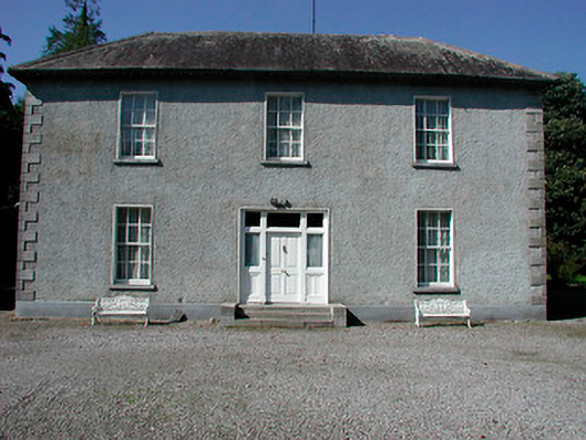 Baltrasna Househouse · 1.4 mi
 Bawn in Cartronkeel (clonlonan By.)Bawn · 1.4 mi
 The Bob Traynor GalleryGallery · 1.4 mi
 Charles BianconiMemorial · 1.5 mi
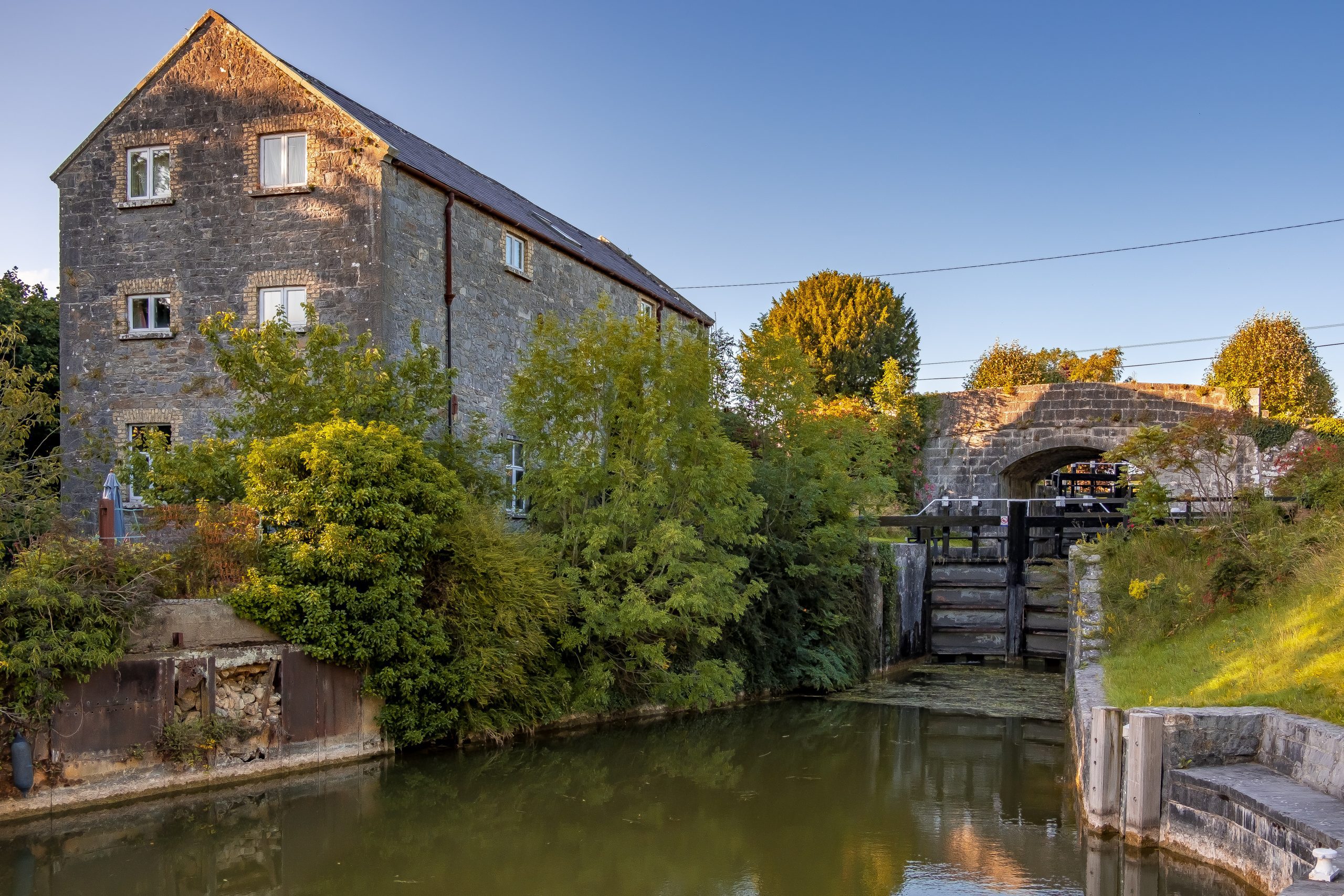 StructureStructure, peatland · 1.5 mi
 Dún na SíMuseum · 1.9 mi
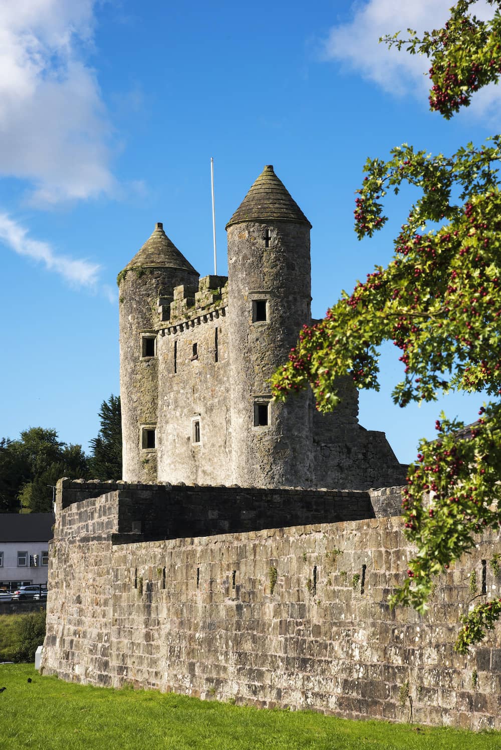 CastleCastle, tower house · 2.1 mi
 Inchaloon IslandIslet · 3.7 mi
 European ashEuropean ash · 5.2 mi