What is recorded here
On a gentle S facing pasture slope. Not recorded on the 1st ed. (1838) of the OS 6-inch map, but shown on the latest ed. (1939) as a tree-clad, semi-circular area (est. dims. c. 55m N-S) defined by a scarp. In the 1950's, it was known locally as 'the moat', but by 1972 no visible surface trace survived (SMR file).
Compiled by: Gearóid Conroy
Date of upload: 10 June 2011
The monument record does not grant public access. Check the route and ask the landowner before entering private land.
- What survives
- Recorded monument
Places near here
 Loughanure MoatEnclosure · 781 yd
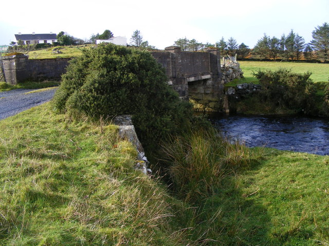 Enclosure in Loughanure CommonsEnclosure · 884 yd
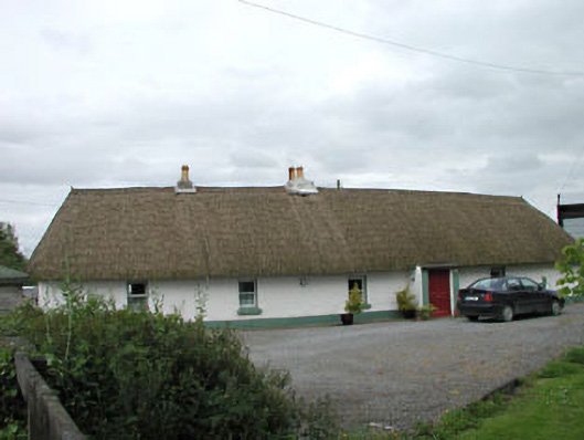 farm housefarm house · 1076 yd
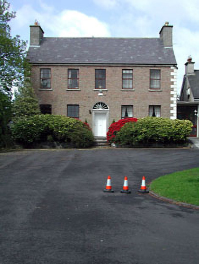 Curryhills Househouse · 1506 yd
 Grand Canal WayWalking route · 1.2 mi
 1798 Rebellion MemorialMemorial · 1.5 mi
 Queen Buans GraveCastle, motte and bailey · 1.5 mi
 IndicatedCastle, motte · 1.5 mi
 Celebrating CommunityMemorial · 1.6 mi
 The Kildare MazeHeritage attraction · 1.9 mi
 Dunne's IslandWood · 2.1 mi
 Ballynafagh Bog Special Area of ConservationNature reserve · 2.4 mi