What is recorded here
Situated on a low rise in undulating grassland. An earthwork is depicted at this location on Larkin’s 1808 map of Co. Westmeath (NLI, MS 46,580 ). The land was improved using machinery in the late 1970s. There are no surface remains visible of any monument at this location. No surface remains visible of any monument on Digital Globe aerial photograph.
Compiled by: Frank Coyne and Caimin O'Brien
Date of upload: 13 July 2018
The monument record does not grant public access. Check the route and ask the landowner before entering private land.
- What survives
- Recorded monument
Places near here
 OutlinedFairy fort / earthen ringfort · 486 yd
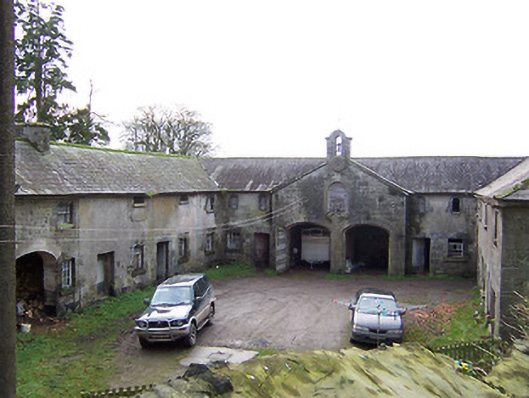 Rockview Housestables · 1212 yd
 Martinstown Castle in RuinsCastle, tower house · 1421 yd
 Bracklyn Housemausoleum · 1616 yd
 Enclosure in ClonynEnclosure · 1.4 mi
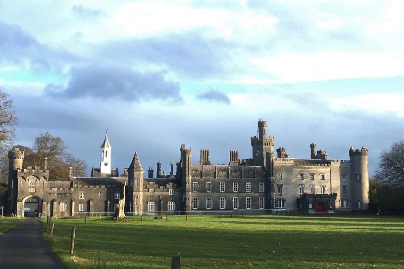 Mulchans Castle in ruinsCastle, tower house · 1.5 mi
 GinkgoGinkgo · 2.6 mi
 ScregganWood · 4.1 mi
 Kells HillMountain / peak · 7.1 mi
 Slieve GullionMountain / peak · 8.3 mi
 Croppies' GraveMemorial · 11 mi
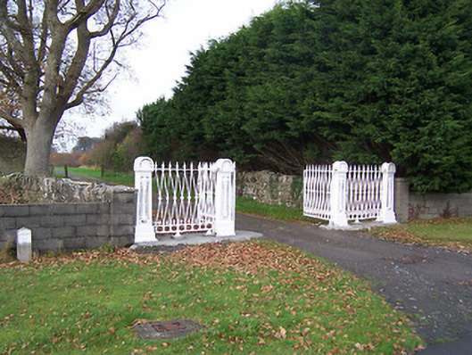 Dysart Housedemesne walls/gates/railings · 1.0 mi