What is recorded here
Situated in pasture, to the immediate E of a infilled sand quarry. Not visible on Digital Globe aerial photography. Monument depicted as an earthwork on Larkin's Map of 1808 (NLI, MS 46,580). Not depicted on the 1837 OS 6-inch map or the revised 1913 ed. OS 25-inch map. Described in 1980 as a wide, low rise which has a wide shallow depression at the SW end, probably the result of quarrying. There are no surface remains visible of an antiquity. Old sand pit depicted on the 1837 ed. OS 6-inch map may be the earthwork depicted on Larkin's map of Westmeath.
Compiled by: Alison McQueen, Vera Rahilly and Caimin O’Brien
Date of upload: 20 December 2018
The monument record does not grant public access. Check the route and ask the landowner before entering private land.
- What survives
- Recorded monument
Places near here
 bridgebridge · 351 yd
 mill (water)mill (water) · 433 yd
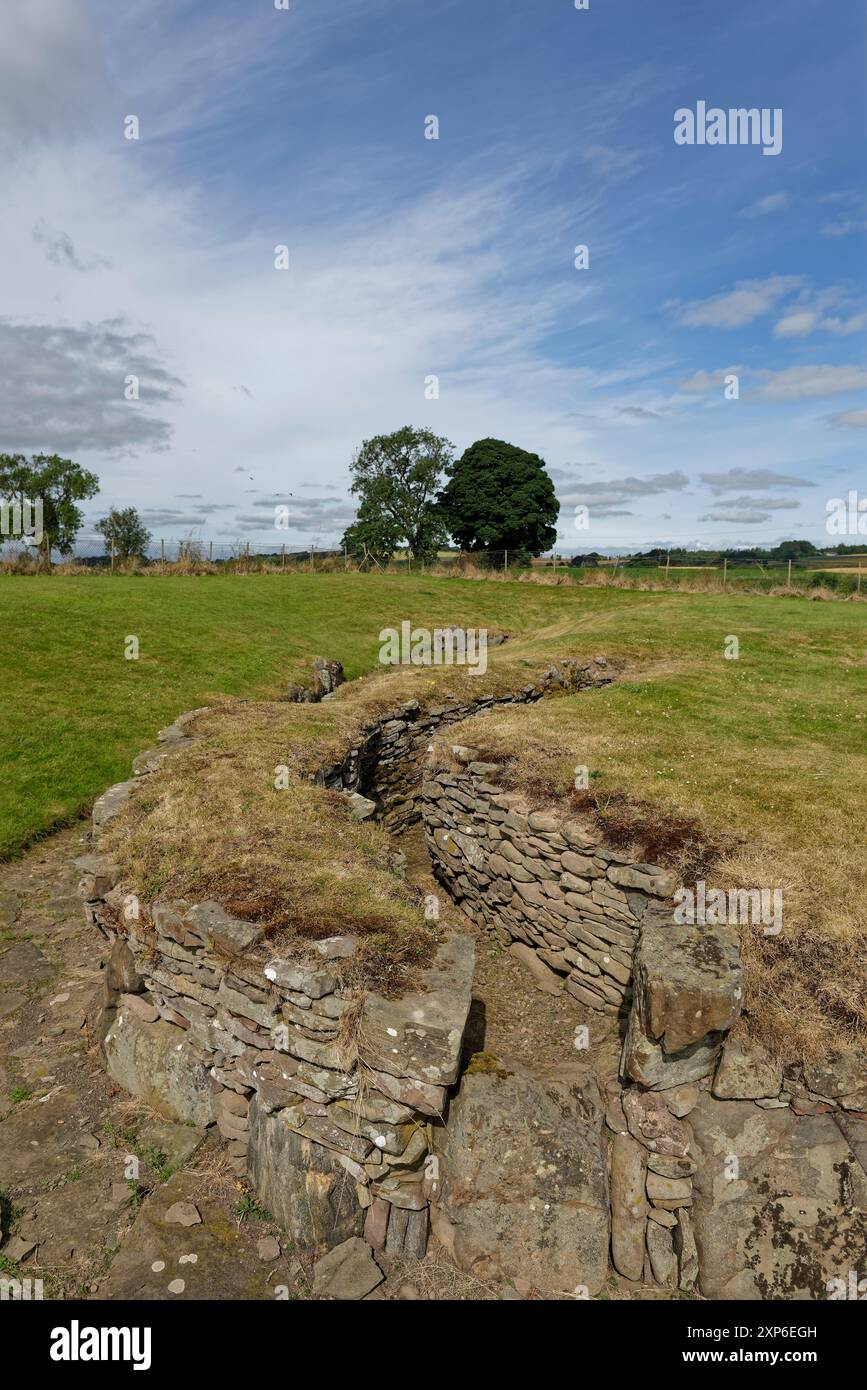 Man-made underground passage in DuneelMan-made underground passage · 1570 yd
 Duneel CastleCastle, tower house · 1.1 mi
 Site of Doon CastleCastle, ringwork · 1.4 mi
 Corran IslandIslet · 1.9 mi
 Sessile OakSessile Oak · 2.2 mi
 Craft WorkshopHeritage attraction · 3.9 mi
 Guest ServicesVisitor information · 3.9 mi
 Abbeyshrule AbbeyRuins · 4.2 mi
 Common LimeCommon Lime · 4.3 mi