What is recorded here
Situated on a low rise of ground on flat pasture, 330m S of the River Brosna. This monument is not depicted on the 1838 ed. OS 6-inch map but is depicted as a circular-shaped earthwork or flat-topped platform on the 1908 ed. OS 6-inch map. Today the monument consists of a low elongated mound (dims. 25m E-W; 20m N-S; ext. H 1m) with precipitous N end and gradually sloping E end. Possibly a natural mound that has been adapted for some unknown function. The monument was surveyed in 1977 and then described as, 'a small subcircular earthwork built around a slight natural rise or outcrop. The edge of the rise had been scarped to form a low embankment, much of this embankment has been eroded away & broken down. Outside there are very slight remains of a shallow fosse. The field bank cuts close to the site on the SW side & part of the earthwork appears to have been cut away to accomodate the field bank. The interior rises gently towards the centre. There are no features of archaeological significance visible in the interior. The diam.[eter] of the earthwork east-west is approx. 25m. This earthwork is in flat pasture land with good views in all directions' (SMR File 1977).
The above description is derived from the published 'Archaeological Inventory of County Offaly' (Dublin: Stationery Office, 1997). In certain instances the entries have been revised and updated in the light of recent research.
Compiled by Caimin O'Brien
Date of upload/revision: 22 December 2011
The monument record does not grant public access. Check the route and ask the landowner before entering private land.
- What survives
- Recorded monument
Places near here
 High WoodWood · 1274 yd
 Enclosure in BallyboughtEnclosure · 1418 yd
 Shancourt or MeeneglishCastle, unclassified · 1612 yd
 Enclosure in Durrow DemesneEnclosure · 1715 yd
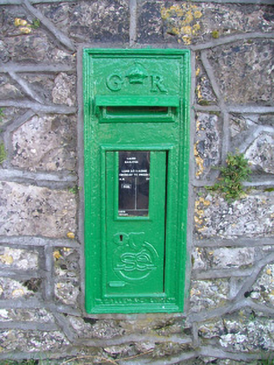 post boxpost box · 1739 yd
 Durrow HillMountain / peak · 1754 yd
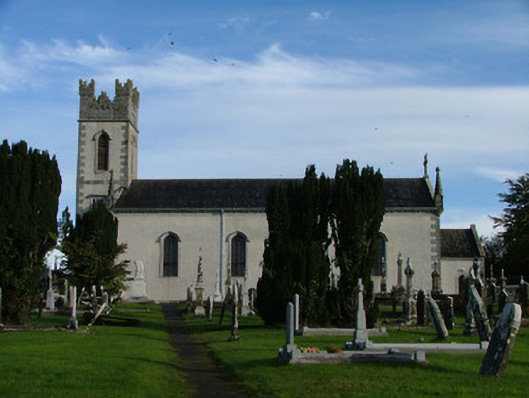 Saint Columba's Catholic Churchchurch/chapel · 1.0 mi
 St. Columba's WellSpring · 1.1 mi
 Durrow MoatCastle, motte · 1.1 mi
 European ashEuropean ash · 2.3 mi
 Bonfire HillMountain / peak · 2.8 mi
 Clara Bog BoardwalkHeritage attraction · 4.6 mi