
What is recorded here
Situated on a low rise of ground on flat pasture, 330m S of the River Brosna. This monument is not depicted on the 1838 ed. OS 6-inch map but is depicted as a circular-shaped earthwork or flat-topped platform on the 1908 ed. OS 6-inch map. Today the monument consists of a low elongated mound (dims. 25m E-W; 20m N-S;…
Read the whole record
From the National Monuments Service (Archaeological Survey of Ireland) record OF008-025
Places near here
Photo credits
- National Inventory of Architectural Heritage
- Maker not stated on source page, pxhere.com
- Mike Searle, Geograph · CC BY-SA 2.0
- Maker not stated on source page, za.pinterest.com
- Maker not stated on source page, www.pinterest.com
- Maker not stated on source page, commons.wikimedia.org
- kevin higgins, Wikimedia Commons · CC BY-SA 2.0
- Kmcnamee, Wikimedia Commons · CC BY-SA 4.0
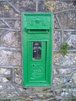 post box1739 yd
Explorer Tom Post box in Ballybought has ears and hears every petty argument between the neighbours across the road. It remembers…
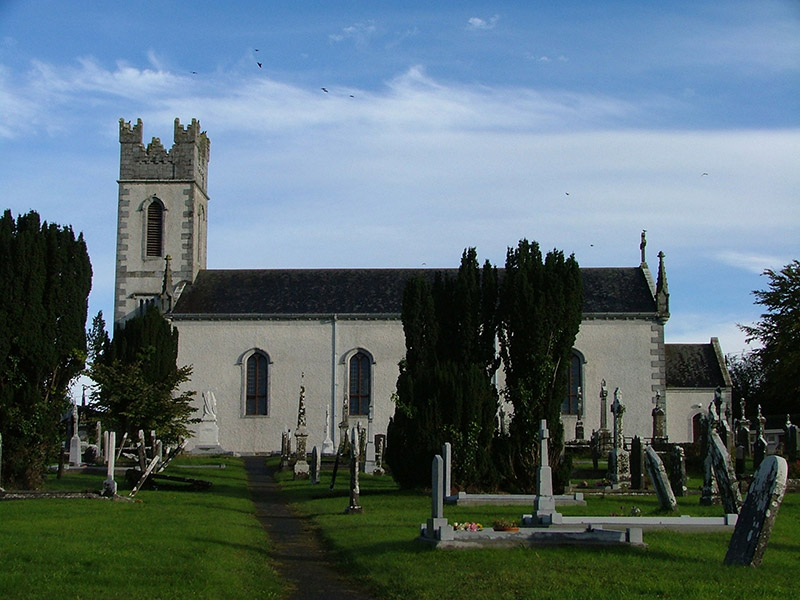 Saint Columba's Catholic ChurchChurch/chapel · 1.0 mi
Explorer Tom Saint Columba’s Catholic Church in Ballybought is a barn church that thinks it’s a cathedral. It would complain to the…
 Durrow CemeteryGraveyard · 1.0 mi
Explorer Tom Durrow Cemetery ended up in completely the wrong place because someone misread a map. It looks totally confused sitting…
 MoycashelWalled garden · 1.0 mi
Explorer Tom Moycashel is having a dramatic standoff with the nearest tree about who gets more sunlight. The walled garden walls are…
 Belview TowerFolly · 1.1 mi
Explorer Tom Belview Tower in Kilclare is a fancy hat with no head, standing on a hill looking smug. It’s secretly proud of the…
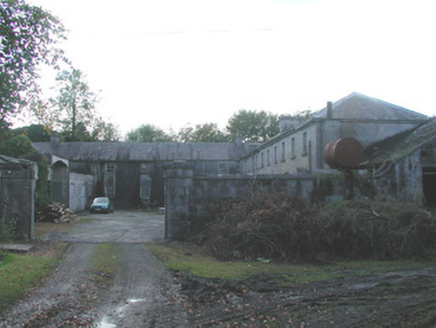 Durrow AbbeyFarmyard complex · 1.1 mi
Explorer Tom Durrow Abbey would bring its own stable of ancient stones to any party and judge your shoes. The masonry is so perfect…
 Durrow MoatCastle, motte · 1.1 mi
Explorer Tom Durrow Moat is deeply suspicious of the postman and hides its head under the earth. Hugh de Lacy died there, so don't…
 St. Columbkilles Abbey (Site of)Religious house, Augustinian canons · 1.2 mi
Explorer Tom St. Columbkilles Abbey in Durrow was designed by a mother-in-law who really wanted everyone to follow her rules…
 St Columba's GraveyardGraveyard · 1.2 mi
Explorer Tom St Columba's Graveyard in County Offaly has this local who swears he invented the concept of burying people there. He…
 Stone head in Durrow DemesneStone head · 1.2 mi
Explorer Tom Stone head in Durrow Demesne looks like it lost an argument with the church wall. It stares down at the doorway like…
 Durrow High CrossVisitor attraction · 1.2 mi
Explorer Tom Durrow High Cross is absolutely sick of being asked if it’s still standing, like it’s some kind of fragile antique that…
 Durrow GAA pitchGAA ground · 1.9 mi
More archaeology and monuments in County Offaly · All of County Offaly

What do you know about this place?Tap to add a comment or ask a question