What is recorded here
Earthwork in Ballinree is a vanished circular enclosure in County Carlow, Ireland, perhaps forty metres across on an old map but no longer visible on the ground. It may have been a ringfort, meaning people lived, argued, loved and raged inside a boundary that has since dissolved into soil and forgetting. The land keeps its shape only in memory now, waiting for someone to walk the grass and imagine the wall returning.
The following description is derived from the published 'Archaeological Inventory of County Carlow' (Dublin: Stationery Office, 1993). In certain instances the entries have been revised and updated in the light of recent research.
Date of upload/revision: 17 July 2007
Shown on 1839 'OS 6-inch' map as circular enclosure (max. diam. c. 40m). No visible surface traces. Possibly a ringfort site.
The monument record does not grant public access. Check the route and ask the landowner before entering private land.
- What survives
- Recorded monument
Places near here
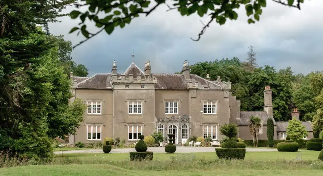 Enclosure in BallinreeEnclosure · 182 yd
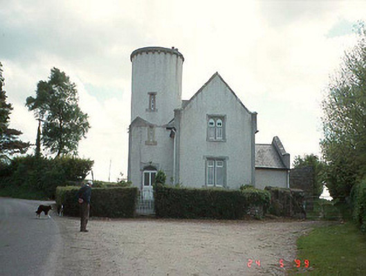 Ballinree Constabulary BarrackRIC barracks · 650 yd
 Burial GroundGraveyard · 832 yd
 White Chapel (in ruins)Church · 1308 yd
 Rathnageeragh Castle (in ruins)Castle, unclassified · 1.8 mi
 SlievebawnMountain / peak · 2.2 mi
 Sessile OakSessile Oak · 2.4 mi
 Ballyloughan Castle (in ruins)Castle, Anglo-Norman masonry castle · 2.6 mi
 Carrig WoodWood · 3.3 mi
 Irish Hangliding and Paragliding AssociationMemorial · 3.8 mi
 Mount LeinsterMountain · 3.9 mi
 CroaghaunMountain / peak · 4.1 mi