What is recorded here
Half-buried in Ballincurra pasture, the D-shaped earthwork keeps its straight eastern edge sharp while the curve dissolves into grass. It sits close enough to the hillfort to belong to the same forgotten neighbourhood, yet resistance or reuse may have erased the feature that first marked it. The shape survives only because shadow and seed revealed it from above, inviting imagination to complete what the soil concealed.
In reclaimed pasture 200m E of the townland boundary with Rathcannon. Hillfort (LI039-029----) lies 550m to W. Not depicted on OSi historic maps. Identified by Bruff aerial photographic survey in 1986 (Bruff 34; AP 5/2063) as a possible enclosure. Visible as a faint cropmark from W-N-NE on OSi orthophoto taken between 2005-12. Outline of D-shaped earthwork (dims. c. 25m N-S x 24m E-W) with straight side at E (L 28m) clearly visible on Google Earth orthoimage dated 16/03/2016.
See attached Bruff aerial photographs (34) and Google Earth orthoimages.
Compiled by: Martin Fitzpatrick
Date of upload: 11 May 2021
The monument record does not grant public access. Check the route and ask the landowner before entering private land.
- What survives
- Recorded monument
Places near here
 Fulacht fia in BallingayrourFulacht fia · 684 yd
 IndicatedEarthwork · 741 yd
 OutlinedBawn · 1499 yd
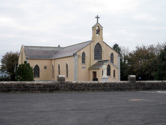 Catholic Church of the Holy Trinitychurch/chapel · 1.3 mi
 Quarry in Dromin NorthQuarry · 1.3 mi
 Bawn in Ballycullane (kilmallock By.)Bawn · 1.4 mi
 King John's CastleCastle · 3.9 mi
 Lough GurVisitor information · 4.6 mi
 Pedunculate OakPedunculate Oak · 5.5 mi
 Lough Gur Heritage CentreVisitor information · 5.7 mi
 The SpectaclesVisitor information · 5.7 mi
 European ashEuropean ash · 6.0 mi