
What is recorded here
In pasture 10m E of a stream that marks the townland boundary with Ballincurra. Not depicted on OSi historic maps. Identified as (BGE 3/77/26) in 2002 by Ken Wiggins (Licence 02E0119) during topsoil-stripping on the Bord Gáis Éireann Pipeline to the West. Burnt spread excavated in 2002 by Kate Taylor under licence No. 02E0507 the results of which were summarised as follows; ‘This site was examined as part of Bord Gáis Éireann’s Pipeline to the West. A small spread of burnt material was excavated on fairly flat pastureland immediately adjacent to a small stream. The spread measured 3m north–south (parallel to the stream) by 2m and was no more than 0.1m deep. The deposit was a mixed brown and grey, silty clay with a large component of burnt and cracked stone, almost entirely sandstone, and a moderate amount of charcoal. Although a small amount of charcoal was recovered from a soil sample, it is insufficient for radiocarbon analysis. Given the absence of artefactual material or radiocarbon samples, it seems unlikely that any date will be assigned to this isolated deposit. The appearance of the material, with the burnt stone and charcoal component, is similar to that of a burnt spread, or fulacht fiadh, and the proximity of a water source fits this interpretation. No trough or other cut feature was found, and the limited quantity of material may indicate substantial truncation, perhaps by rerouting of the natural stream to form a field boundary, or, alternatively, a short period of use for the site (Taylor 2004, 300; Grogan 2007, 245)’. Monument has been fully excavated and is not visible on aerial images.
Compiled by: Martin Fitzpatrick
Date of upload: 20 May 2021
The monument record does not grant public access. Check the route and ask the landowner before entering private land.
- What survives
- Recorded monument
Places near here
 Earthwork in BallingayrourEarthwork · 395 yd
 IndicatedEarthwork · 545 yd
 OutlinedBawn · 1.1 mi
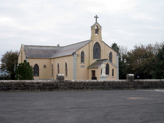 Catholic Church of the Holy Trinitychurch/chapel · 1.4 mi
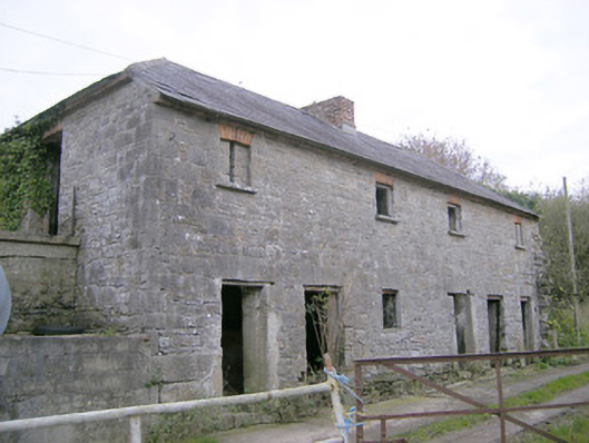 Camas Houseoutbuilding, bridge · 1.5 mi
 Bawn in MaidstownBawn · 1.8 mi
 Lough GurVisitor information · 4.3 mi
 Grange Stone CircleArchaeological place · 4.3 mi
 KnockainyMountain / peak · 5.0 mi
 Pedunculate OakPedunculate Oak · 5.1 mi
 Lough Gur Heritage CentreVisitor information · 5.3 mi
 The SpectaclesVisitor information · 5.3 mi
Other information
Photo: Credit not shown in the picture search · Rights wording not checked; contact us if this picture should be removed