What is recorded here
In reclaimed pasture 80m W of Ballincurra Stream that marks the townland boundary with Stookeens. Earthwork (LI048-084----) lies 40m to NW. Not depicted on the 1840 ed. OSi 6-inch map. Depicted on the 1897 ed. OSi 25-inch map as a sub-circular shaped platform or mound (diam. c. 18m) defined by a scarp. Visible as an earthwork on oblique aerial photograph (ASIAP) taken 05/01/2003. levelled earthwork visible as a roughly sub-circular shaped cropmark on Digital Globe orthoimage taken between 2011-13 and on Google Earth orthoimages.
See attached oblique aerial photograph (ASIAP) with earthwork marked 6 and Google Earth orthoimages.
Compiled by: Fiona Rooney
Date of upload: 8 September 2021
The monument record does not grant public access. Check the route and ask the landowner before entering private land.
- What survives
- Recorded monument
Places near here
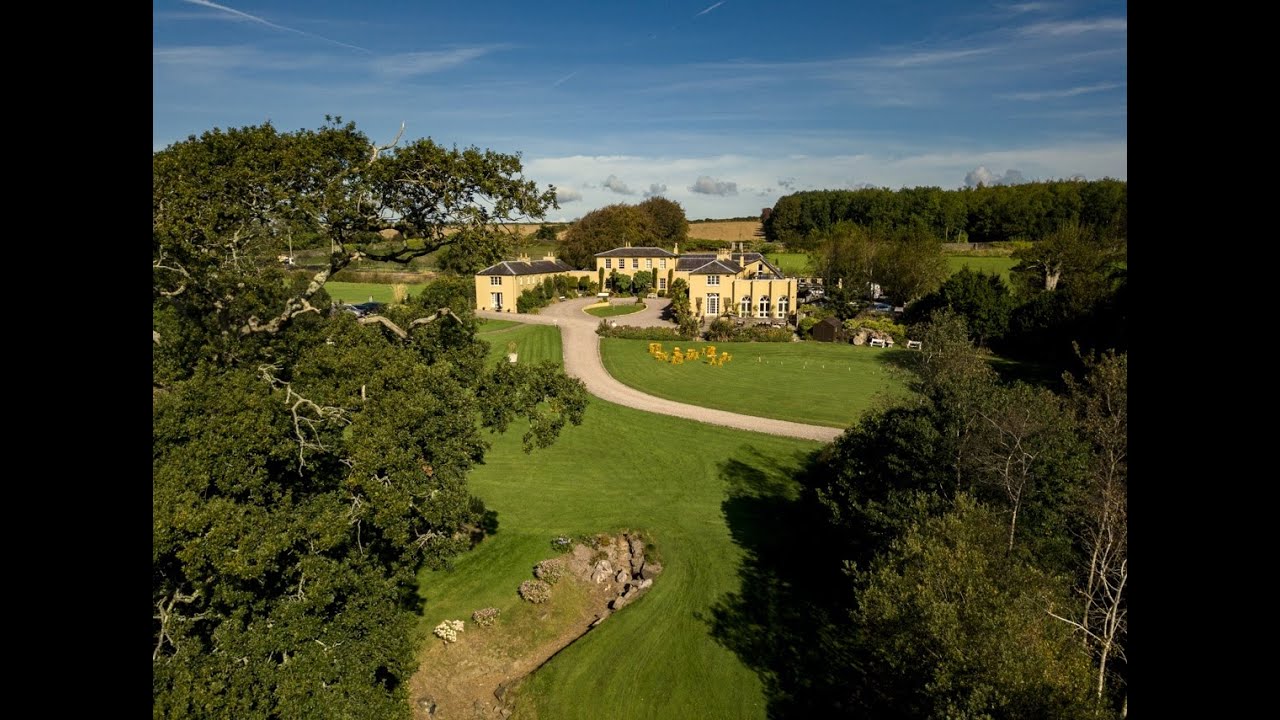 Earthwork in Ballincurra (coshlea By.)Earthwork · 207 yd
 Teermore Househouse · 469 yd
 Castle (in ruins)Castle, tower house · 1121 yd
 BarrowBarrow, ditch barrow · 1173 yd
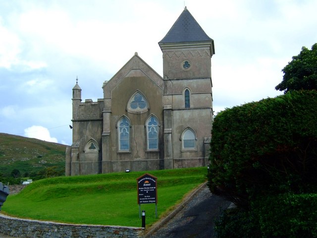 Kilbreedy Church (in ruins)Church · 1209 yd
 Bulgaden Castle (in ruins)Castle, tower house · 2.1 mi
 St Bridget's WellSpring · 2.8 mi
 Ballyhoura tourist informationVisitor information · 2.9 mi
 Ballinvreena LoopVisitor information · 3.0 mi
 Palatine's RockNamed rock · 3.7 mi
 Edmund's WellSpring · 4.0 mi
 Ballyhoura WayWalking route · 4.0 mi