What is recorded here
Balgeeth is an earthwork in County Meath, Ireland. It is marked as a fort on the 1837 map. No trace remains visible on the ground, yet aerial photography reveals two circular enclosures. The land has taken back what the survey recorded.
The following description is derived from the published 'Archaeological Inventory of County Meath' (Dublin: Stationery Office, 1987). In certain instances the entries have been revised and updated in the light of recent research.
Date of upload/revision: 10 July 2007
Marked 'fort' on 1837 OS 6" map. No visible trace.
2 circular enclosures visible at this point on aerial photograph (Department of Archaeology, NUI, Galway). See also ME031-048---- and ME031-049----.
This remains an important historical record, but the official description says the monument is no longer visible or has been destroyed. The monument record does not grant public access. Check the route and ask the landowner before entering private land.
- What survives
- No visible remains or recorded as destroyed
Places near here
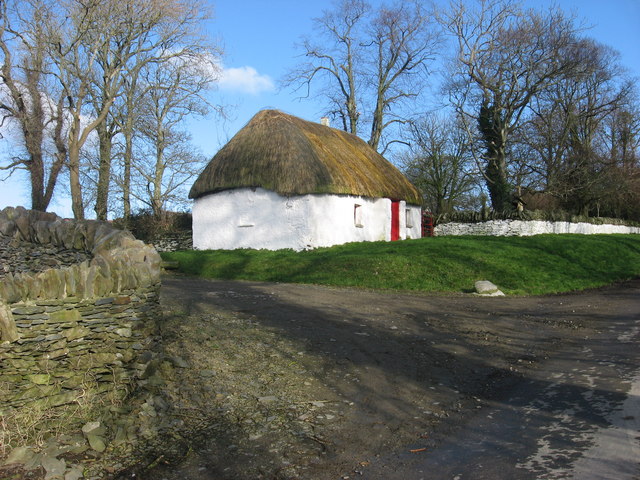 Enclosure in Balgeeth (deece Lower By.)Enclosure · 62 yd
 Enclosure in BallinterEnclosure · 866 yd
 European BeechEuropean Beech · 1057 yd
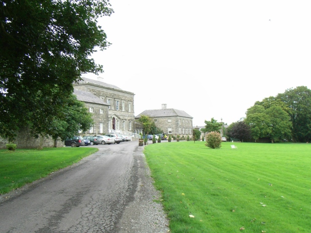 Bellinter Housecountry house · 1158 yd
 Assey CastleCastle, tower house · 1455 yd
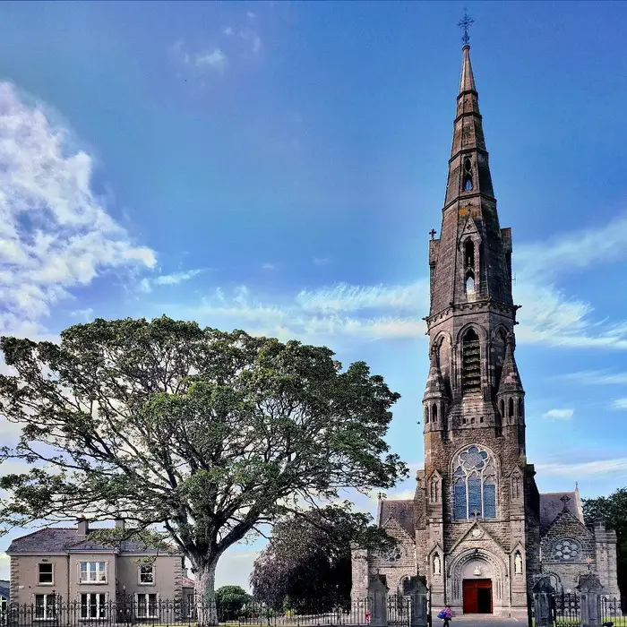 Church (in Ruins)Church · 1484 yd
 CastleCastle, unclassified · 1.1 mi
 Fox CovertWood · 1.8 mi
 Saint Patrick'sMemorial · 2.3 mi
 Hill of TaraVisitor information · 2.4 mi
 Battle of Tara (Ireland)Major battlefield · 2.4 mi
 Battle of Tara Hillbattle · 2.4 mi