What is recorded here
Ardranny Beg holds a subcircular grassy mound twenty-five metres wide and three metres high, rising above low-lying Galway farmland. Maps called it a fort, but local tradition remembers burial, suggesting people placed their dead beneath the soil rather than building walls to keep invaders out. Animals now erase the northern edge, returning the mound to the landscape that first received it.
On a rise in low-lying farmland. Named 'Fort' on OS Fair Plan and marked on 3rd ed. of OS 6-inch map (1947) as a circular enclosure (D c. 35m). What is visible is a subcircular grassy earthen mound (N-S 25.1m, H 3.65m max.) in fair condition, apart from N section which is being severely eroded by animals. According to local tradition, this was a place of burial; possibly a tumulus.
The above description is derived from the published 'Archaeological Inventory of County Galway Vol. II - North Galway'. Compiled by Olive Alcock, Kathy de hÓra and Paul Gosling (Dublin: Stationery Office, 1999).
Date of upload: 05 August 2010
The monument record does not grant public access. Check the route and ask the landowner before entering private land.
- What survives
- Recorded monument
Places near here
 Enclosure in Cartron (clonmacnowen By.)Enclosure · 548 yd
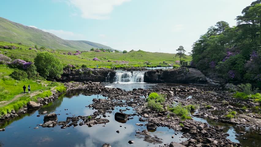 LisnafairyFairy fort / ringfort · 888 yd
 Quarry in BallyterrimQuarry · 974 yd
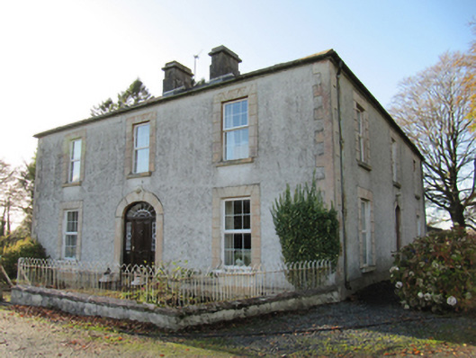 Cartron Househouse · 985 yd
 Bawn in Cooltymurraghy (clonmacnowen By.)Bawn · 1.0 mi
 Ballagh Castle (in Ruins)Castle, unclassified · 1.3 mi
 European BeechEuropean Beech · 2.0 mi
 European YewEuropean Yew · 2.1 mi
 The bloody HollowHeritage attraction · 2.3 mi
 Battle of AughrimMajor battlefield · 2.5 mi
 Urraghry HillMountain / peak · 2.7 mi
 Battle of Aughrim Interpretative CentreMuseum · 3.1 mi