What is recorded here
On a rise in low-lying farmland. Named 'Fort' on OS Fair Plan and marked on 3rd ed. of OS 6-inch map (1947) as a circular enclosure (D c. 35m). What is visible is a subcircular grassy earthen mound (N-S 25.1m, H 3.65m max.) in fair condition, apart from N section which is being severely eroded by animals. According to local tradition, this was a place of burial; possibly a tumulus.
The above description is derived from the published 'Archaeological Inventory of County Galway Vol. II - North Galway'. Compiled by Olive Alcock, Kathy de hÓra and Paul Gosling (Dublin: Stationery Office, 1999).
Date of upload: 05 August 2010
The monument record does not grant public access. Check the route and ask the landowner before entering private land.
- What survives
- Recorded monument
Places near here
 Enclosure in Cartron (clonmacnowen By.)Enclosure · 548 yd
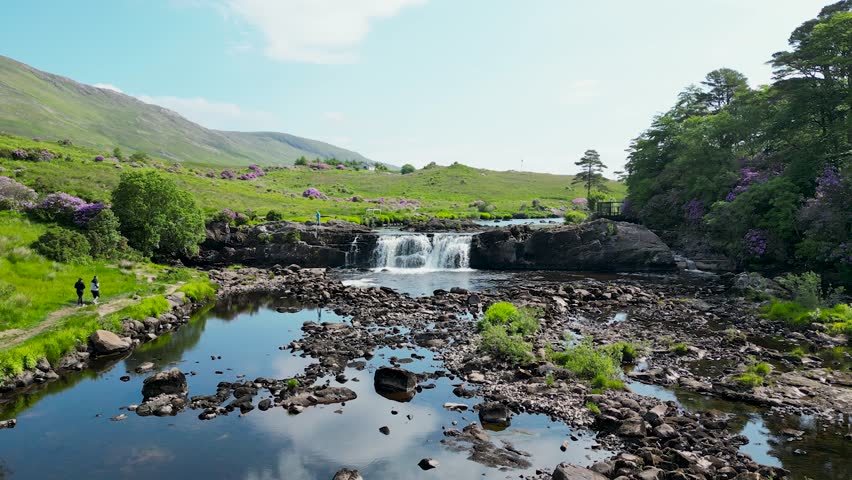 LisnafairyFairy fort / ringfort · 888 yd
 Quarry in BallyterrimQuarry · 974 yd
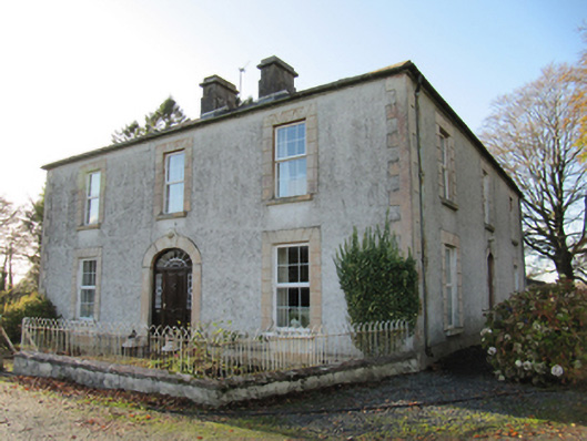 Cartron Househouse · 985 yd
 Bawn in Cooltymurraghy (clonmacnowen By.)Bawn · 1.0 mi
 Ballagh Castle (in Ruins)Castle, unclassified · 1.3 mi
 European BeechEuropean Beech · 2.0 mi
 European YewEuropean Yew · 2.1 mi
 The bloody HollowHeritage attraction · 2.3 mi
 Battle of AughrimMajor battlefield · 2.5 mi
 Urraghry HillMountain / peak · 2.7 mi
 Battle of Aughrim Interpretative CentreMuseum · 3.1 mi