What is recorded here
The following description is derived from the published 'Archaeological Inventory of County Carlow' (Dublin: Stationery Office, 1993). In certain instances the entries have been revised and updated in the light of recent research.
Date of upload/revision: 17 July 2007
Haggard outlined with hachures in addition to field boundary on 1839 'OS 6-inch' map (max. dims. c. 40m NW-SE x 30m NE-SW). May indicate an antiquity. Haggard boundary now levelled.
The monument record does not grant public access. Check the route and ask the landowner before entering private land.
- What survives
- Recorded monument
Places near here
 Black Bridgebridge · 307 yd
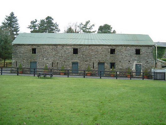 Millfall Housemill (water) · 962 yd
 Enclosure in RidgeEnclosure · 1.6 mi
 IndicatedBawn · 1.7 mi
 Gallows HillMountain / peak · 1.7 mi
 Uskerty WoodForest · 2.8 mi
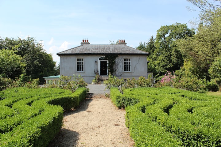 Enclosure in MonaveaEnclosure · 3.5 mi
 Clogharinka Castle (in ruins)Castle, unclassified · 3.9 mi
 Kilgorey Old BurialVisitor information · 4.0 mi
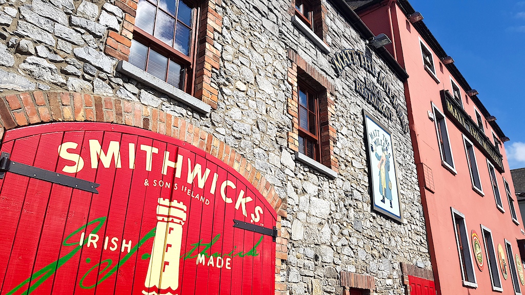 Glenmullen WoodWood · 4.3 mi
 Graveyard in Tomard Lower (3 Detached Portions)Graveyard · 4.4 mi
 Church (in ruins), GraveyardChurch · 4.7 mi