What is recorded here
In pasture. Listed in the SMR (1989) and the RMP (1995) and classified as 'Earthwork'. This is based on its representation on the 1914 edition of the OS 6-inch map as a linear scarp (L c. 40m) along the 300ft contour. There is a building indicated immediately to N. The earthwork is not visible at ground level.
Compiled by: Archaeological Survey Unit, UCC with revisions by Patrick F. O'Donovan and Paul Walsh
Date of upload: 20 June 2011
The monument record does not grant public access. Check the route and ask the landowner before entering private land.
- What survives
- Recorded monument
Places near here
 Hilltop enclosure in MuckeltyHilltop enclosure · 605 yd
 Enclosure in MuckeltyEnclosure · 700 yd
 Muckelty HillMountain / peak · 735 yd
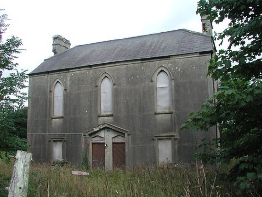 Achonry Parochial Hallchurch hall/parish hall · 1184 yd
 AbbeyChurch · 1.2 mi
 CastleCastle, unclassified · 1.8 mi
 KnocknasheeMountain / peak · 2.6 mi
 Ballyara Castle (in Ruins)Castle, unclassified · 3.7 mi
 European ashEuropean ash · 4.4 mi
 ElderElder · 4.5 mi
 The Turf Stack RockNamed rock · 6.2 mi
 Old Cave Burial GroundArchaeological place · 6.5 mi