
What is recorded here
From the National Monuments Service (Archaeological Survey of Ireland) record DG018-008
Places near here
Photo credits
- National Inventory of Architectural Heritage
- N Chadwick, Geograph · CC BY-SA 2.0
- Maker not stated on source page, en.wikipedia.org
- Maker not stated on source page, www.viamichelin.com
- Maker not stated on source page, www.pinterest.com
- Carroll Pierce, Wikimedia Commons · CC BY-SA 2.0
- Maker not stated on source page, www.theirishplace.com
- Maker not stated on source page, www.tripadvisor.com
- Kenneth Allen, Geograph · Creative Commons Attribution-ShareAlike 2.0
- Patrice78500, Wikimedia Commons · Public domain
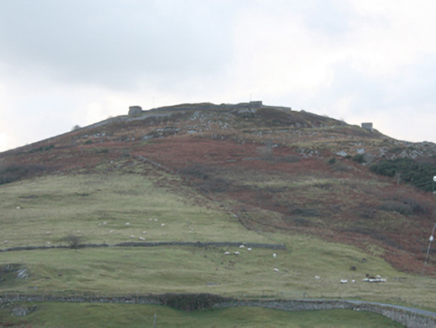 Dunree FortBattery · 355 yd
Explorer Tom Dunree Fort is a coastal battery with a two-storey gatehouse and sunken magazines that look like they’re hiding secrets…
 Dunree CentreMuseum · 735 yd
Explorer Tom Dunree Centre is one building in the Fort Dunree grounds, where the fort's story takes six exhibition chapters to tell.…
 Lederg Burial MoundBurial mound · 773 yd
Explorer Tom Lederg Burial Mound was described as a sandy hillock near Portbane Strand. Local information said at least four burials…
 Lederg CistsCist · 802 yd
Explorer Tom Lederg Cists are basically a game of hide and seek with the sand. We found seven stones forming a tiny box in 1976, but…
 Standing stone in Muineagh (desertegny Ed)Standing stone · 816 yd
Explorer Tom Standing stone in Muineagh is a solid 3.08m tall, standing proud on pasture land that overlooks Lough Swilly. It’s…
 Dunree LighthouseLighthouse keeper's house · 836 yd
Explorer Tom Dunree Lighthouse keeper's house in Dunree has a favourite song that it hums every time a ship passes by, mostly…
 Dunree HeadHeadland · 884 yd
Explorer Tom Dunree Head sticks its chin into Lough Swilly as though it has been appointed lookout for the whole of Donegal, and…
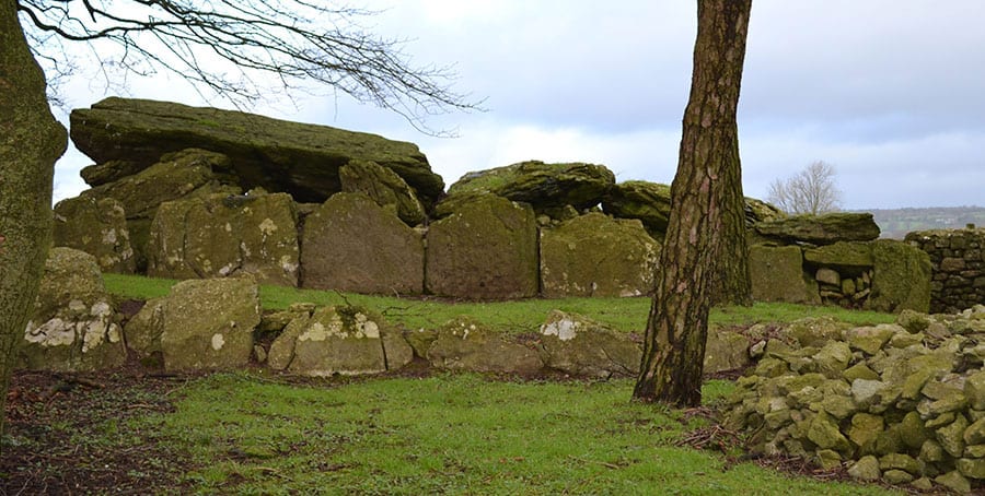 Laghty Wedge TombWedge tomb · 1.0 mi
Explorer Tom Laghty Wedge Tomb sits right on a hilltop staring out at Lough Swilly, which is a decent view for a ruin. Locals claim…
 Cloghtogle Slab TombMegalithic tomb · 1.1 mi
Explorer Tom Cloghtogle Slab Tomb is two massive slabs that look like they’re having a nap together on the ground. They’ve been…
 St. Patrick's Girls National SchoolSchool · 1.3 mi
Explorer Tom St. Patrick's Girls National School in Glebe (Desertegny) sports a 1893 date plaque next to a single-bay lean-to that…
 Star of the Sea Catholic ChurchChurch/chapel · 1.3 mi
Explorer Tom Star of the Sea Catholic Church has a split bell tower and a low copper roof, a striking pair on a church built in…
 Urris HillsMountain / peak · 2.0 mi
Explorer Tom Urris Hills in County Donegal sounds like it's having a proper chat with the Gap of Mamore, judging by that caption.…
More archaeology and monuments in County Donegal · All of County Donegal

What do you know about this place?Tap to add a comment or ask a question