What is recorded here
Two enormous slabs lie tangled on the Donegal ground, one resting partly across the other like a forgotten gesture. They were already fixed in that position when surveyors marked them in 1850, yet no chamber, cavity or built shape survives to explain why they were placed there. The tomb has lost its purpose but kept its weight, leaving behind a bare stone paradox where human intent once pressed against the earth.
This feature was first shown on the 1847-50 edition of the OS 6-inch map. It consists of two large slabs, one prostrate and the other lying partly on it and partly on the ground. The prostrate slab measures 3.5m by 2m by 0.75m thick. The other measures 3m by 2.5m by 0.6m. These stones were in their present positions in 1850 (OS Revision Name Book, 1847-50). Their origin is uncertain, but there is no indication now that they formed part of an artificial structure.
OS Revision Name Book, sheet 18 (1847-50), 15; Ó Nualláin 1983a, 49, no. 181; SMR 1987, 18:11; Colhoun 1995, 56, no. 18/6, plate 8 (b); RMP 1995, 18:11.
The above description was published in the 'Survey of the Megalithic Tombs of Ireland. Volume VI, County Donegal.' Compiled by: Eamon Cody (Dublin: Stationery Office, 2002).
Date of upload: 22 September 2008
Slab tomb, likely dating to the Neolithic or early Bronze Age. Its survival in a simple form provides insight into early megalithic funerary practices in the region.
The monument record does not grant public access. Check the route and ask the landowner before entering private land.
- What survives
- Recorded monument
Places near here
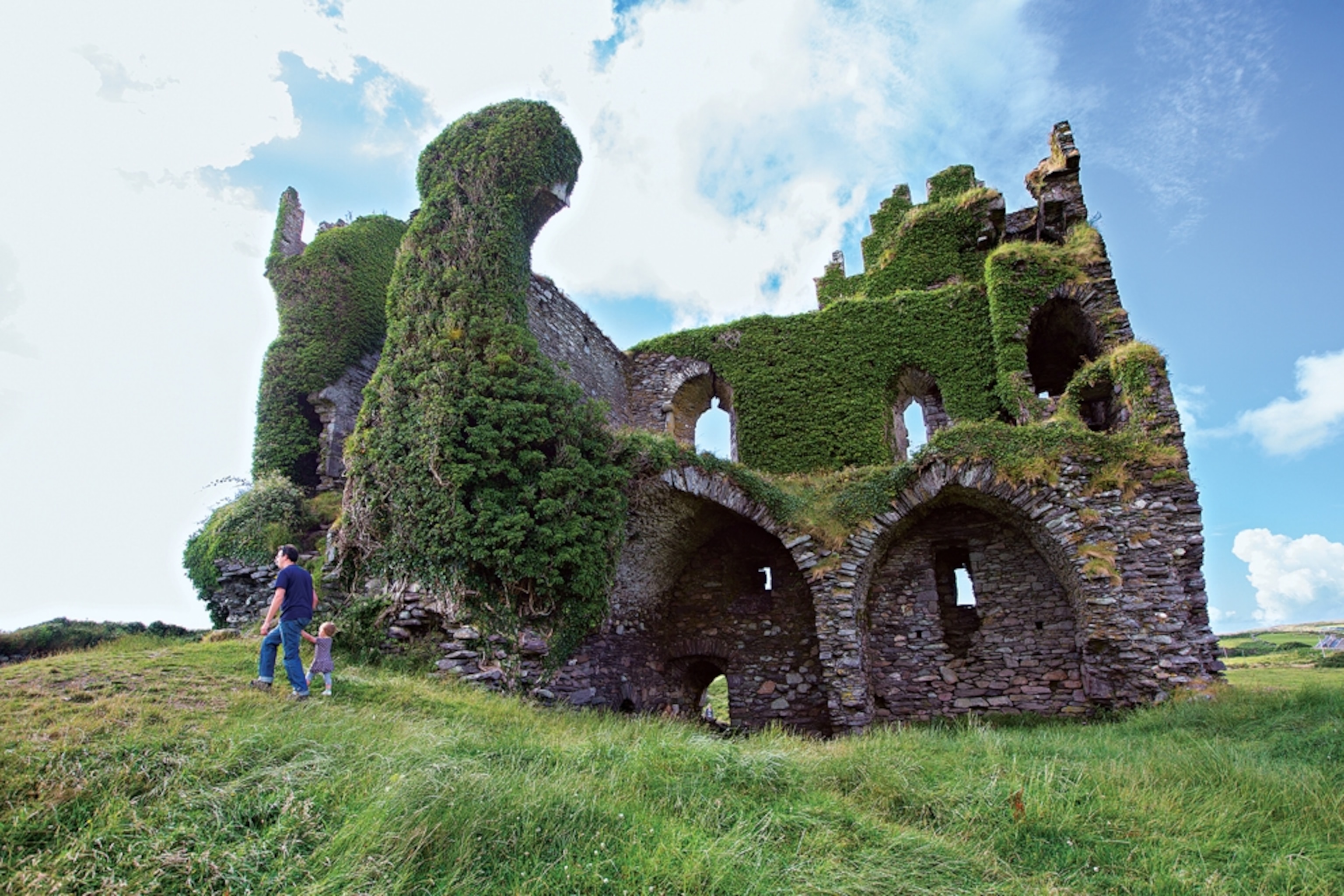 Sharagore Hillock Fairy FortFairy fort / earthen ringfort · 466 yd
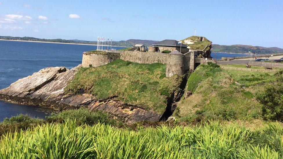 Former An Tóin Dubh Stone Fort near DunreeFairy fort / stone ringfort · 511 yd
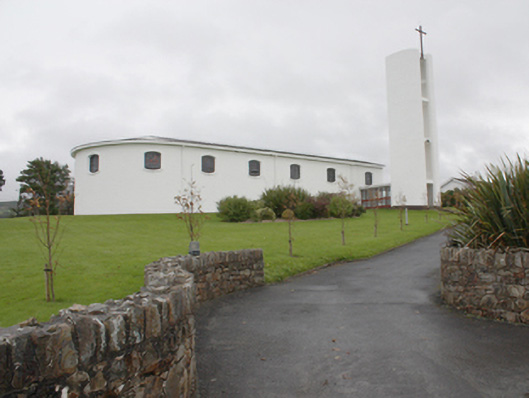 Star of the Sea Catholic Churchchurch/chapel · 1340 yd
 Castle Ross (Site of)Castle, unclassified · 1356 yd
 St. Patrick's Girls National Schoolschool · 1406 yd
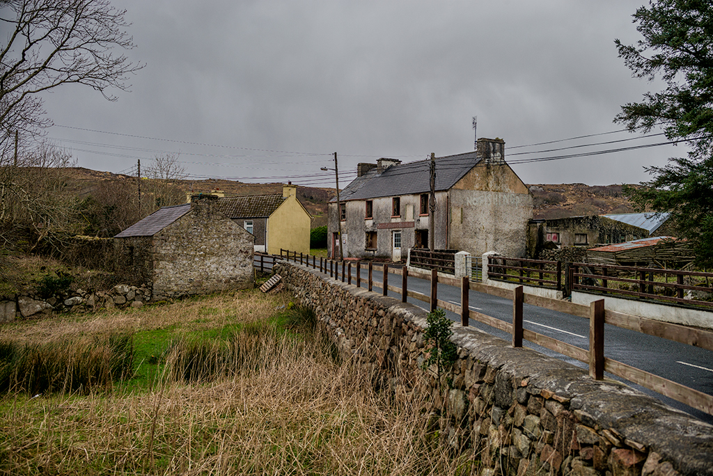 Saldána GalleryGallery · 1.5 mi
 Dunree CentreMuseum · 1.5 mi
 Dunree HeadHeadland · 1.6 mi
 Urris HillsMountain / peak · 1.7 mi
 Mamore GapViewpoint · 2.6 mi
 Mamore HillMountain / peak · 3.0 mi
 Stragill BeachBeach / strand · 3.0 mi