What is recorded here
Dunrally is a fortified river bend in County Laois where the Glasha meets the Barrow, recorded in AD 860 when Dinnediadh, son of Gaithin, destroyed the fortress of Rothlaibh and killed Conall Ultach, Luirgnen and others. Its outer ditch, six metres wide and two metres deep, sweeps from the Barrow around the central enclosure and ends at the Glasha, trapping a broad strip of land between the two waters. The name changed from Rathlaibh to Dunrally, but the shape remains: a place built to hold, defend and be taken.
Identified by E. Kelly of the National Museum of Ireland as a Longphort, located at a bend on the River Barrow where the Glasha tributary runs into the Barrow. In the Annals of the Four Masters it is referred to under the date AD 860, when it records the 'Destruction of Longphort-Rothlaibh (the Fortress of Rothlaibh) by Dinnediadh, son of Gaithin, Lord of Leix, on the fifth of the Idea of September, and the Killing of Conall Ultach and Luirgnen, with many others along with them'. (Comerford 1886, vol. 3, 376). Afterwards this name of the fortress of Rothlaoibh became Dun-Rathlaigh, which is Dunrally (O'Hanlon and O'Leary 1907, vol. 1, 291-2). The central enclosure (LA014-006001-) marked on the map as Dunrally had a larger outer enclosure (int. dims. 360m X 150m) defined by a deep defensive ditch (Wth 6m wide; 2m deep) which ran off the River barrow and enclosed the central enclosure from SE through S through W to N where it runs onto the River Glasha.
Compiled by: Caimin O'Brien
Date of upload: 17 December 2007
Dunrally is a ringfort or rath identified as a Viking longphort by E. Kelly of the National Museum of Ireland, situated at a strategic bend in the River Barrow where the Glasha tributary meets it. Its early-medieval origins are supported by references in the Annals of the Four Masters, and its location suggests it may have been a key settlement or trading post during the Viking period.
The monument record does not grant public access. Check the route and ask the landowner before entering private land.
- What survives
- Recorded monument
Places near here
 DunrallyFairy fort / earthen ringfort · 57 yd
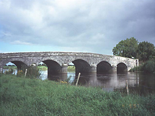 Dunrally Bridgebridge · 729 yd
 Cloney CastleCastle, unclassified · 1254 yd
 Church (in Ruins)Church · 1315 yd
 Enclosure in Vicarstown (dodd)Enclosure · 1562 yd
 Site of Ballymanus CastleCastle, unclassified · 2.3 mi
 Green's WoodForest · 3.0 mi
 Dangan's WoodWood · 3.3 mi
 Beech Way WalkWalking route · 5.1 mi
 CEMETERYGraveyard · 5.2 mi
 Mass RockNamed rock · 5.2 mi
 Cobbler's Castle WalkWalking route · 5.3 mi