
What is recorded here
Overlooking Dirk Bay to E. Subcircular raised platform (E-W 53m; N-S 59.6m), almost flat topped (ext. H 2.35m); delimited by road to E. Hut site (9.50m N-S; 5.30m E-W) in interior. Hachured enclosure on OS 6-inch map (1842). Westropp (1914-16, 106) notes that 'The original fort of Dunowen is supposed to be a larger earthwork of the low mote type near the village'. Tradition of Man-made underground passage in site (CO144-042002-).
The above description is derived from the published 'Archaeological Inventory of County Cork. Volume 1: West Cork' (Dublin: Stationery Office, 1992). In certain instances the entries have been revised and updated in the light of recent research.
Date of upload/revision: 14 January 2009
A local fairy fort (ringfort/rath); wider significance not recorded.
The monument record does not grant public access. Check the route and ask the landowner before entering private land.
- What survives
- Recorded monument
Places near here
 Red StrandBeach / strand · 592 yd
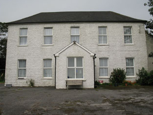 Ballyva Housefarm house · 1061 yd
 Castle (Site of)Castle, unclassified · 1063 yd
 Burial in DunowenBurial · 1084 yd
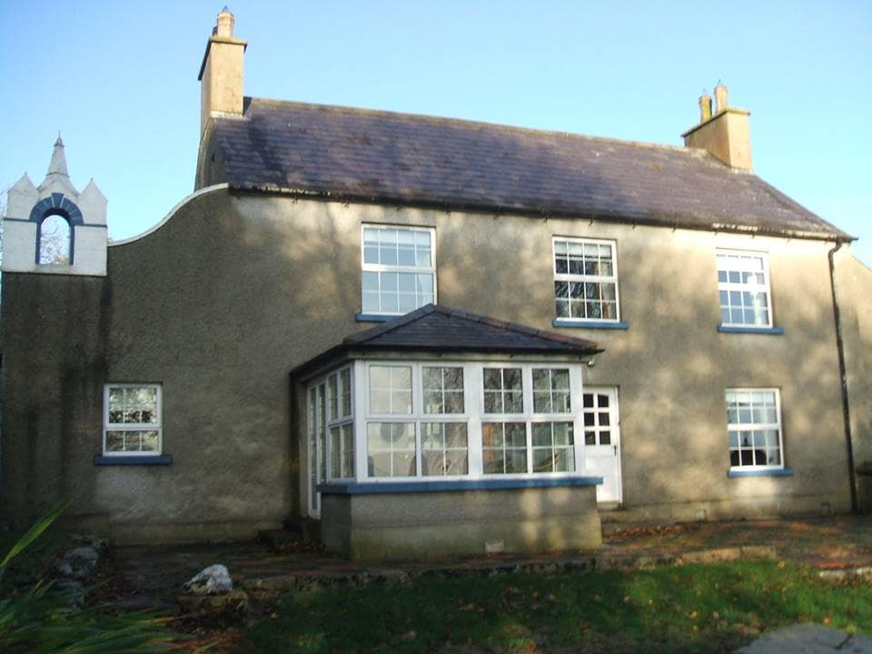 Country house in DunowenCountry house · 1355 yd
 St James WellHoly well · 1.1 mi
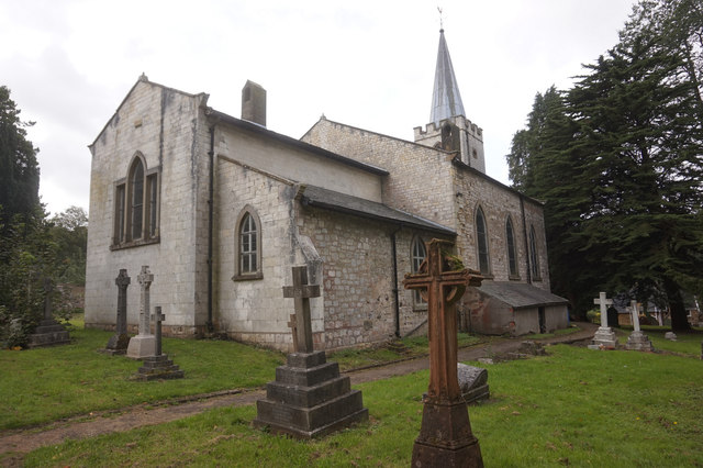 St. James WellSpring · 1.2 mi
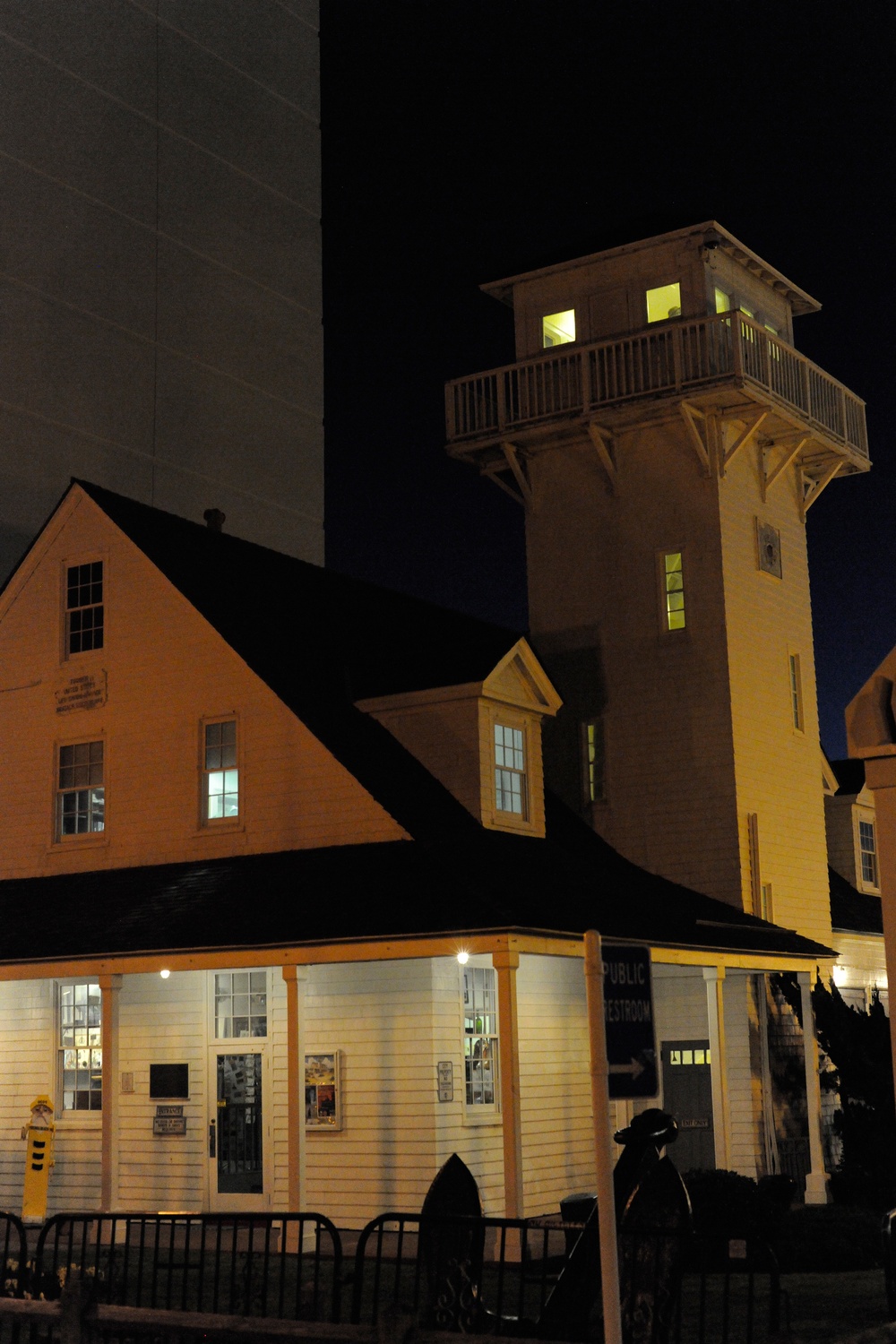 Old Coast Guard StationRuins · 1.3 mi
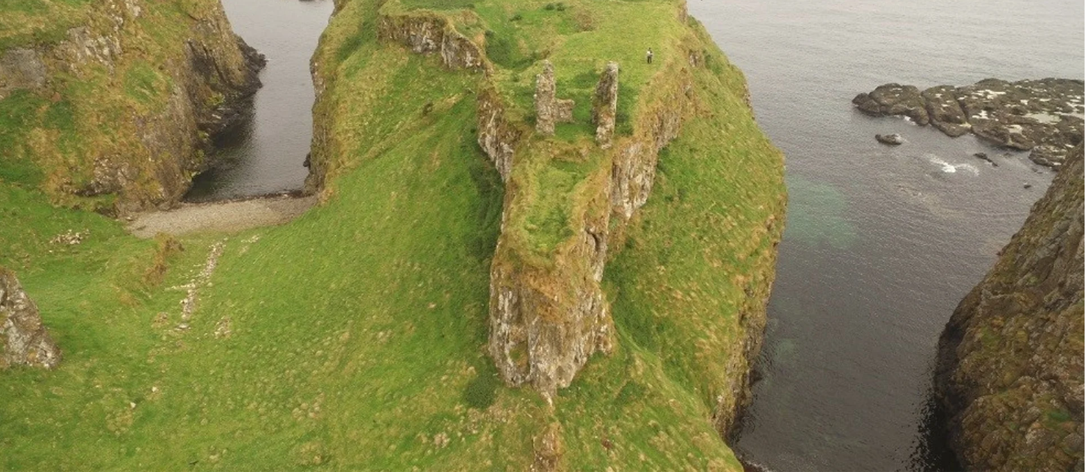 Dunnycove Castle (in Ruins)Castle, tower house · 1.4 mi
 Galley HeadViewpoint · 1.7 mi
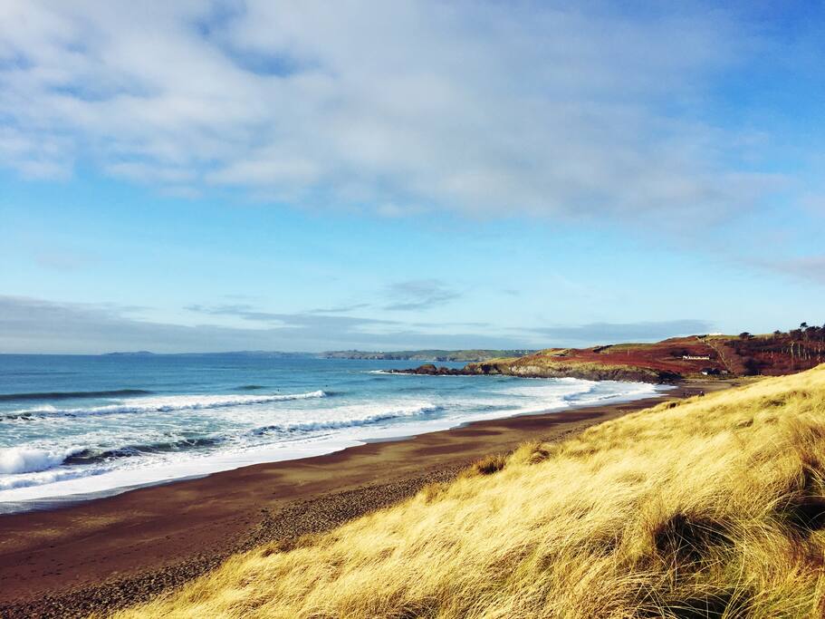 The Long StrandBeach / strand · 2.0 mi
 Long Strand DunesNature reserve · 2.1 mi
Other information
Photo: Credit not shown in the picture search · Rights wording not checked; contact us if this picture should be removed