
What is recorded here
Map note: Dunlappie Dyke appears on the map as a boundary dyke near Chapelton of Menmuir, Angus, Scotland. The past can keep its secrets; the map gives you a starting point.
Places near here
Photo credits
- Trevor Littlewood, Wikimedia Commons · CC BY-SA 2.0
- Steven Brown, Wikimedia Commons · CC BY-SA 2.0
- Dominic Dawn Harry and Jacob Paterson, Wikimedia Commons · CC BY-SA 2.0
- Alan Reid, Wikimedia Commons · CC BY-SA 2.0
- jamesnicoll, Wikimedia Commons · CC BY-SA 2.0
- Maker not stated on source page, www.youtube.com
- John Ferguson, Wikimedia Commons · CC BY-SA 2.0
- Maker not stated on source page, www.alamy.com
- Maker not stated on source page, www.tripadvisor.ru
- Maker not stated on source page, www.bbc.com
- Michael Garlick, Wikimedia Commons · CC BY-SA 2.0
- Alexander P Kapp, Wikimedia Commons · CC BY-SA 2.0
 WoodsideSmithy (19th Century), Village (medieval) - (post Medieval) · 212 yd
 ChapeltonChapel (medieval), Holy Well (medieval) · 854 yd
 LundieCountry House · 971 yd
 CairndrumPit(s), Rig and Furrow (medieval) - (post Medieval) · 1165 yd
 Blair MuirForest · 1182 yd
 Edzell CastleFindspot, Finger Ring (copper Alloy)(post Medieval) · 1520 yd
 Balrownie WoodForest · 1.2 mi
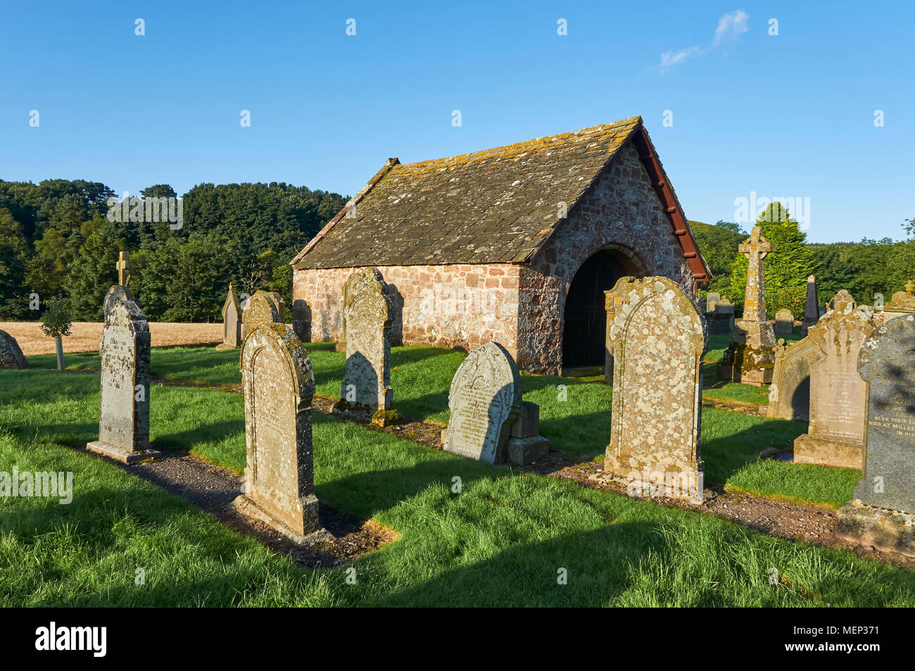 Mapped cemeteryCemetery · 1.3 mi
 Edzell, Castle HillockMotte and Bailey (medieval) · 1.4 mi
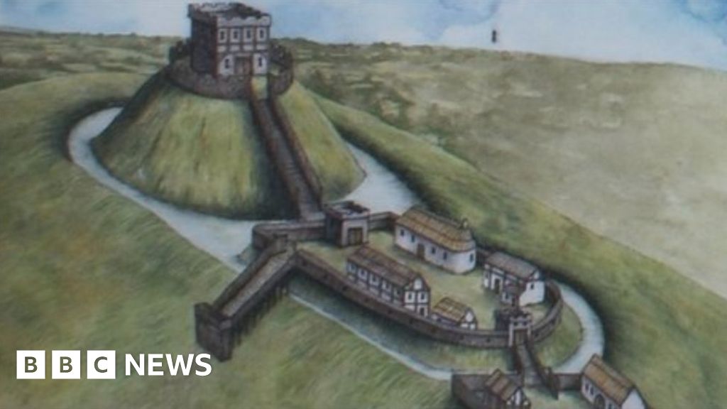 Castle Hillock, Motte and BaileyArchaeological place · 1.4 mi
 Edzell Castle, GardenWalled Garden · 1.6 mi
 Edzell Castle Walled GardenGarden · 1.6 mi
More archaeology and monuments in Angus · All of Angus

What do you know about this place?Tap to add a comment or ask a question