What is recorded here
Dungarvan is a small historic town in County Kilkenny where a lost castle, church and medieval borough still lie hidden beneath the ground. The name may mean the fort of Garbhán, giving the place an ancient personal origin rather than a generic landscape label. By the fourteenth century its burgage holders were granting front strips along the road towards Thomastown, so the town was already living as a worked, owned and divided place. The Down Survey later noted a small castle in repair and a church on glebe land, yet neither remains visible above ground. What survives is a compact village set between Gowran and Thomastown, with a motte at one end and the memory of a larger borough buried under fields, roads and time.
In gently undulating terrain. A tributary of the River Nore flows c. 600m SE of the settlement. Kilkenny city (KK019-026----) lies c. 12km to the NE and Kells (KK027-029----) c. 12m to the SW. It is roughly centrally placed on the road between Gowran (KK020-060----), c. 5km to the NNE, and Thomastown (KK028-040----), c. 7km to the SSW. Another road at the E end of Dungarvan runs to Graiguenamanagh (KK029-018----) which is c. 10km to the SE. Carrigan (1905, vol. 3, 417) ascribes the derivation of the name as, ‘Dún Garbháin, which means the Fort of a man named Garbhán, or of a place anciently so named’.
By the 14th century the manor of Dungarvan had been granted burgage status, as evidenced by a reference in the Calendar of Ormond Deeds where, ‘Hugh son of Randulf grants to William his son and his heirs in fee and heritage a front in the land of the burgagers of Dungarvan, the head of which lies in length near the King’s highway towards Thomastown on the south’ (Curtis 1932, vol. 1, 261 (deed 613); Empey 1990, 80, 647 - footnote 23). The Down Survey (1655-6) terrier accompanying the parish map of Dungarvan notes, ‘on Dungarvan a Small Castle in repaire’ and the proprietors in 1640 are listed as Peter Shortall, John Archdeacon and Redmond Archdeacon (NLI MS720). The Down Survey (1655-6) parish map indicates a church on glebe land within Dungarvan ((Hibernia Regnum, courtesy of Trinity College Dublin). Neither the castle (KK024-068008-) at the E end of the village, or the church c. 50m SW of it, are visible above ground.
The full extent of the medieval borough of Dungarvan is unknown and the settlement now consists of a relatively small village. There is a motte (KK024-068001-) at the W end of the village.
Compiled by: Jean Farrelly
Date of upload: 29 April 2021
The monument record does not grant public access. Check the route and ask the landowner before entering private land.
- What survives
- Recorded monument
Places near here
 Walshhouse · 15 yd
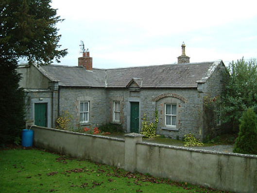 The Groveunknown · 33 yd
 CastleCastle, motte · 84 yd
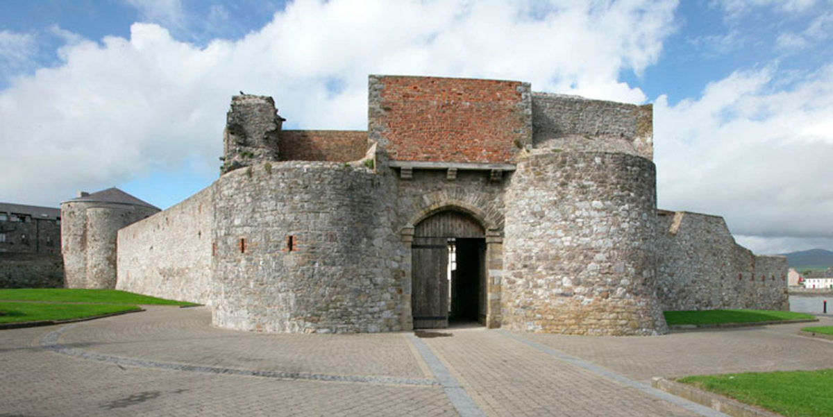 Site of Dungarvan CastleCastle, tower house · 116 yd
 Enclosure in Dungarvan GlebeEnclosure · 398 yd
 Enclosure in Cloghala (gowran By., Bennettsbridge Ed)Enclosure · 522 yd
 Red BogForest · 1456 yd
 BogForest · 1751 yd
 Tullaherin Church and Round TowerVisitor information · 1.5 mi
 Stroan FountainVisitor information · 2.1 mi
 Kilbline GraveyardArchaeological place · 2.6 mi
 Time CapsuleMemorial · 3.6 mi