
What is recorded here
Dunboy Castle was the stone throat of the O'Sullivan Bere, squeezing every fishing boat and merchant vessel through their harbour until George Carew’s cannons broke that pride in 1602. The ruins still choke the Beara Peninsula, marking the exact spot where a small garrison bled out rather than surrender its coastal kingdom.
Dunboy Castle is recorded as a castle in County Cork. Its open map record supplies this location and any linked names or public references.
Dunboy Castle was built in the early 17th century by the O'Sullivan Beare clan, an Irish Gaelic family, as a defensive stronghold during the Nine Years' War. It is remembered for its role in Irish resistance against English forces and its dramatic destruction in 1602 by Lord Mountjoy, marking a significant moment in the conflict.
Places near here
 Castle (in Ruins)Castle, tower house · 2 yd
 Dunboy CastleRuins · 4 yd
 Siege of Dunboysiege · 59 yd
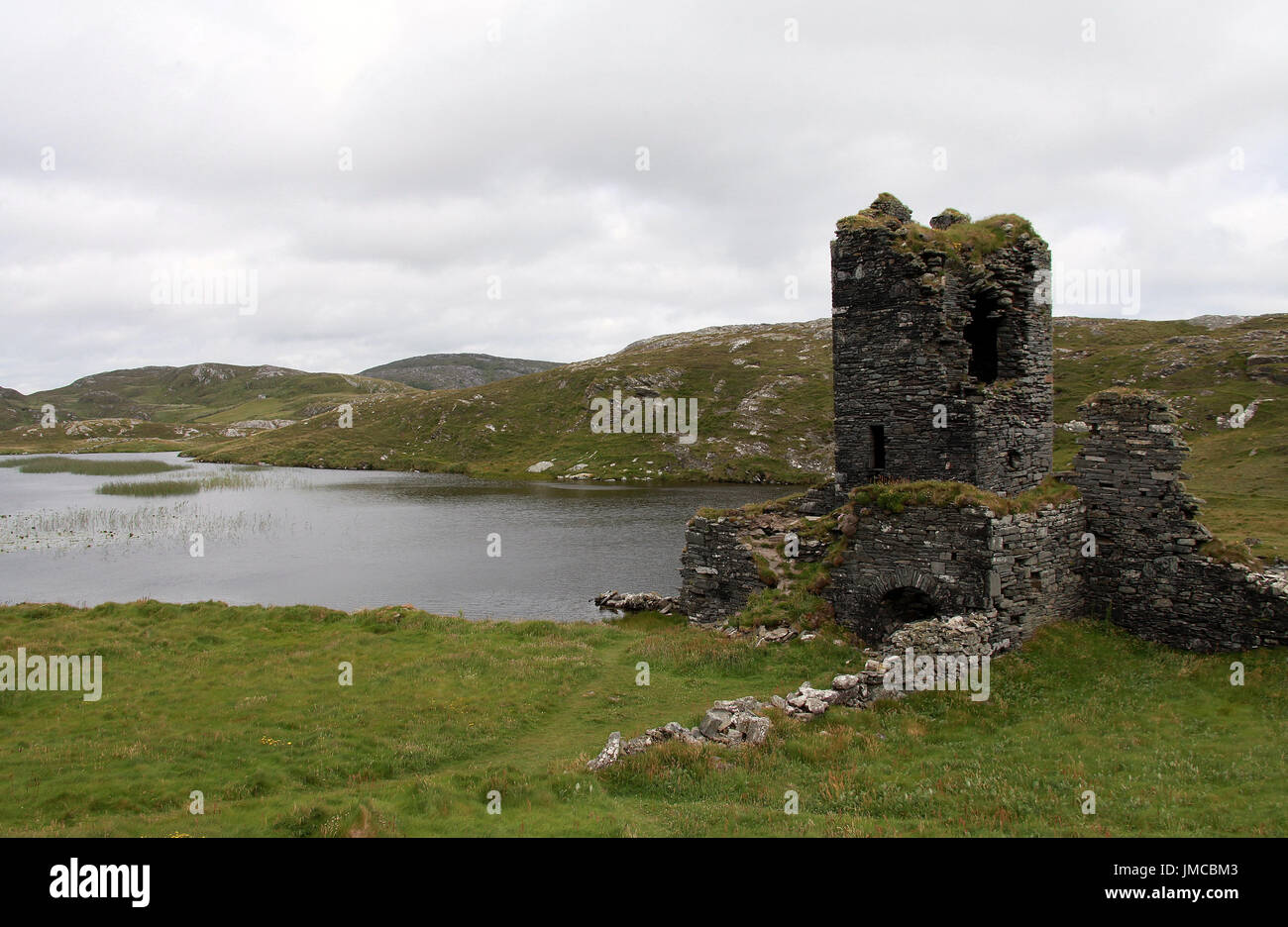 Hut site in DunboyHut site · 94 yd
 TraneenBeach / strand · 709 yd
 Dunboy WoodForest · 791 yd
 Enclosure in DisertEnclosure · 933 yd
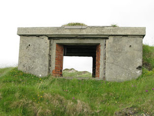 pill boxpill box · 1113 yd
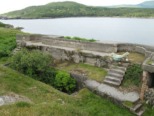 batterybattery · 1178 yd
 Ardnakinna West Island LoopWalking route · 1.0 mi
 Burial ground in DerrycreeveenBurial ground · 1.1 mi
 Sheep IslandsIslet · 1.1 mi
Other information
Photo: Nomasoft · CC BY-SA 4.0