What is recorded here
Crossing a W-E section of the River Suck immediately below Donamon Castle (RO038-010----), which is c. 100m to the S. A bridge is marked on Petty's map of Ballymoe barony (1683) and a bridge is present on Grosse's illustration of the Dunamon fortified house (RO038-010002-) (Grose 1791, vol. 2, Pl. 92). The bridge of ten arches is built of a single construction (Wth 5.5m). It may be 18th century in date.
Compiled by: Michael Moore
Date of upload: 24 August 2010
The monument record does not grant public access. Check the route and ask the landowner before entering private land.
- What survives
- Recorded monument
Places near here
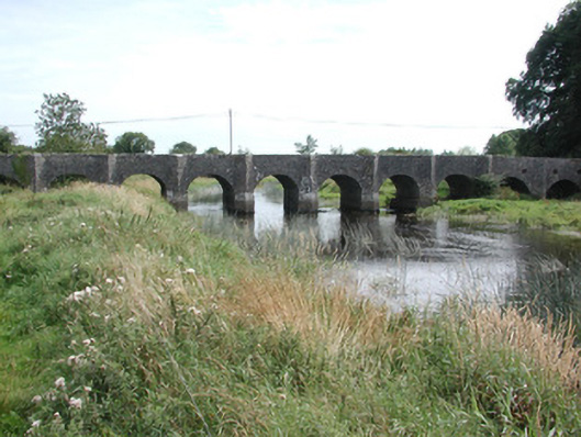 Dunamon BridgeOfficially recorded historic building · 1 yd
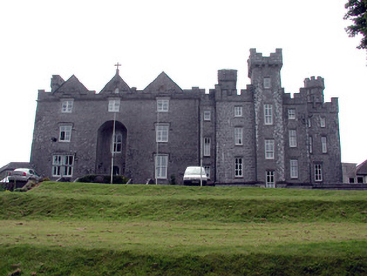 Dunamon Castlecountry house · 171 yd
 IndicatedCrannog · 1166 yd
 Fulacht fia in BallymacfarraneFulacht fia · 1665 yd
 European ashEuropean ash · 1.6 mi
 European YewEuropean Yew · 1.7 mi
 CastleCastle, unclassified · 2.5 mi
 Sally IslandIslet · 4.3 mi
_-_geograph.org.uk_-_1952978.jpg?width=1280) Bawn in Glinsk (ballymoe By.)Bawn · 4.8 mi
Bawn in Glinsk (ballymoe By.)Bawn · 4.8 mi Mount MaryMountain / peak · 5.3 mi
 Site of Killomaine Grave YardArchaeological place · 5.4 mi
 Church (in Ruins)Church · 319 yd