What is recorded here
Marked as 'Duke's Stone' on the 1840 ed. of the OS 6-inch map, it is situated at the edge of a broad ridge, and at the crest of a severe NE-facing slope. This is a large subrectangular stone (dims. 0.8m x 0.35m; H 1.2m) incorporated into the S face of the stone-clad sod wall (WA011-007----) that forms the boundary with Co. Tipperary (TS091-021----) and is also the bounds of the Lismore estate as mapped by Richard Scalé in 1774. It is at a point where the boundary changes direction. The Lismore lands were acquired in 1753 by William Cavendish, the fourth Duke of Devonshire, through his wife, Lady Charlotte Boyle, the heiress of the fourth Earl of Cork. The 'Duke's Stone' may refer to the fourth Duke or any of his heirs.
Compiled by: Michael Moore
Date of upload: 30 November 2011
The monument record does not grant public access. Check the route and ask the landowner before entering private land.
- What survives
- Recorded monument
Places near here
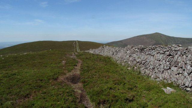 KnocknagnauvMountain / peak · 420 yd
 KnockanareMountain / peak · 817 yd
 CairnCairn, radial-stone cairn · 1345 yd
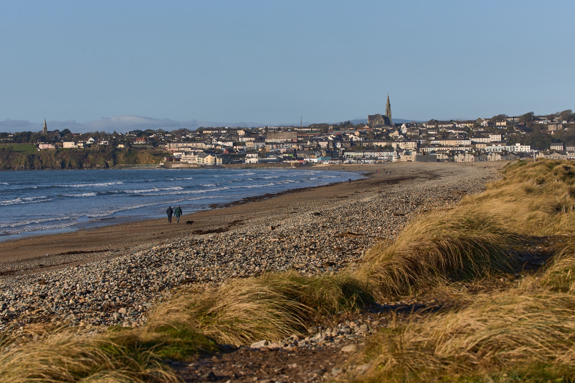 Rian Bo PhadraigRoad, road/trackway · 1.7 mi
 Liam Lynch MonumentMonument · 1.9 mi
 Liam Lynch Memorialmonument · 1.9 mi
 Kildanogue wildfowl sanctuary and nature reserveNature reserve · 2.8 mi
 Grubb’s GraveMemorial · 3.4 mi
 Bawn in FrehansBawn · 3.5 mi
 The VeeViewpoint · 3.5 mi
 Glenshelane WoodsForest · 4.0 mi
 WaterfallViewpoint · 4.3 mi