What is recorded here
Mortality and memory have layered this place for centuries. People died, others remembered them, and the land accepted both parts of the transaction. That is why the name still sounds large instead of small.
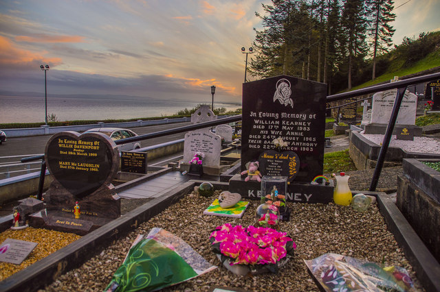
Marked 'Fort' on the 1st and 2nd editions of the OS 6-inch maps. The monument has been totally obliterated by use as a graveyard, and only the curving outline to the N, E and S survives to suggest the presence of a ringfort (DG031-005-). It is situated on a plateau, overlooking Lough Foyle, with a steep rise behind.
The above description was derived from the 'Archaeological Survey of County Donegal. A description of the field antiquities of the County from the Mesolithic Period to the 17th century.' Compiled by: Brian Lacey with Eamon Cody, Claire Cotter, Judy Cuppage, Noel Dunne, Vincent Hurley, Celie O'Rahilly, Paul Walsh and Seán Ó Nualláin (Lifford: Donegal County Council, 1983). In certain instances the entries have been revised and updated.
Date of upload: 22 September 2008
A former ringfort, likely dating to the Early Medieval period (c. 500–1000 AD), its significance lies in its transformation into a graveyard, which has obscured most of its original features and function.
The monument record does not grant public access. Check the route and ask the landowner before entering private land.
- What survives
- Recorded monument
Places near here
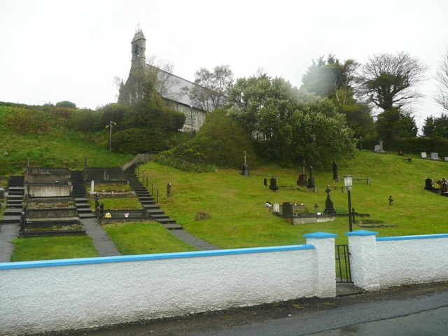 Church of St. Columbachurch/chapel · 45 yd
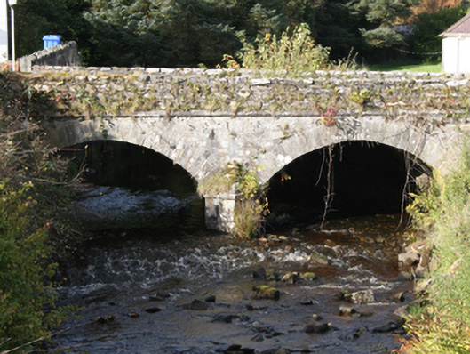 Drung Bridgebridge · 93 yd
 Ballyargus Rock-Banked Fairy FortFairy fort / earthen ringfort · 962 yd
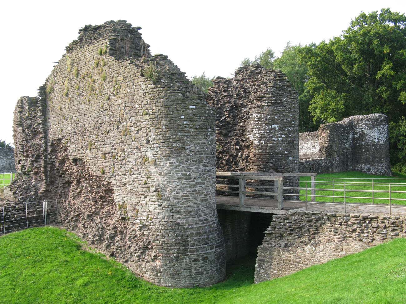 Whitecastle Fairy FortFairy fort / earthen ringfort · 1.0 mi
 Site of Red CastleCastle, unclassified · 1.4 mi
 Quigley's PointHeadland · 2.2 mi
 CroaghmoreMountain / peak · 2.6 mi
 Castle CaryCastle, unclassified · 2.8 mi
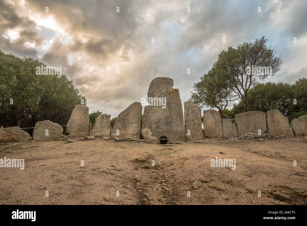 Giant's GraveArchaeological place · 3.3 mi
 CrockavishaneMountain / peak · 3.9 mi
 Cooley CrossMemorial · 4.6 mi
 Muff ForestWoodland walk · 7.3 mi
Other information
Photo: danny kearney · CC BY-SA 2.0