What is recorded here
The precise location of Drumcree Castle within the townland of Drumcree has not been identified. The castle is depicted on the 1659 Down Survey map (NLI MS 723-4) but not marked on any edition of the OS 6-inch maps. It was suggested that the castle may have been located at Drumcree House but no evidence of any castle was found at this location. The terrier of the Down Survey map of Kilcumny parish states that there is a castle 'in repaire at Drumcree' (ibid.). A tower house type castle with adjoining 17th century house is depicted standing in the centre of the townland of Drumcree on the 1659 Down Survey map of Delvin barony. In 1640 this castle and its lands belonged to James Nugent. On the Down Survey map of Kilcumny parish the castle is depicted as a battlemented tower house type structure with a 17th century two storey high house with gable ended chimney stack built onto the N face of the castle. The chimney extends beyond the external face of the N gable wall and rises above the ridge line of the roof.
Compiled by: Caimin O'Brien
Date of upload: 21 September 2016.
Drumcree Castle was likely built in the 17th century, as evidenced by its depiction on the 1659 Down Survey map. Its importance lies in its historical record as a documented structure in early modern Ireland, despite its absence on later mapping.
The monument record does not grant public access. Check the route and ask the landowner before entering private land.
- What survives
- Recorded monument
Places near here
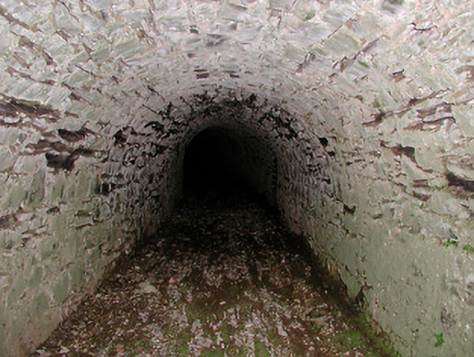 Drumcree Housetunnel · 468 yd
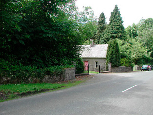 Glananea Housegates/railings/walls · 671 yd
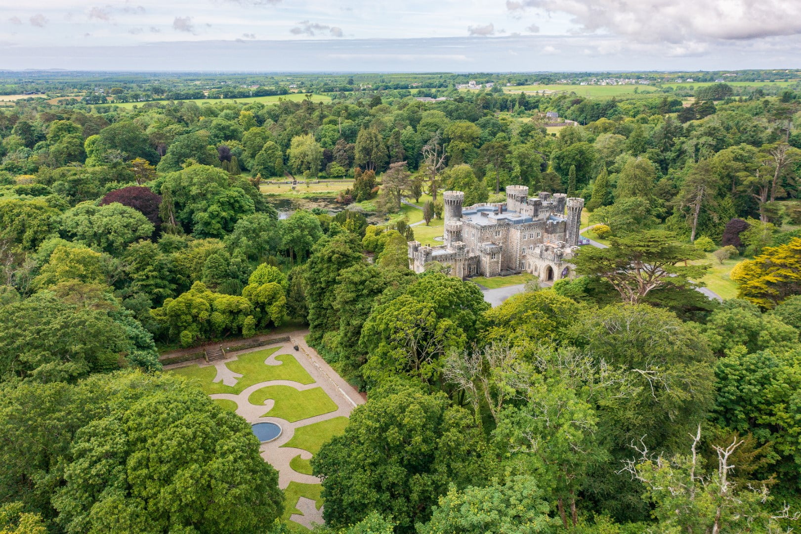 CastleCastle, tower house · 1335 yd
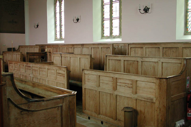 Ecclesiastical enclosure in KilcumnyEcclesiastical enclosure · 1497 yd
 The FurzeForest · 1.1 mi
 Bawn in Scurlockstown (delvin By.)Bawn · 1.4 mi
 CaltraghEcclesiastical enclosure · 1.8 mi
 Castle IslandIslet · 2.6 mi
 Noggin HillMountain / peak · 2.8 mi
 The Sloe HillMountain / peak · 2.8 mi
 South East GateHeritage attraction · 3.3 mi
 St Feichin's MillHeritage attraction · 3.5 mi