
What is recorded here
Drumboghill Island Cashel occupies a thirty-one-metre island at the western edge of Doon Lough, holding collapsed walling that resists easy reading because dense vegetation still strangles the stones. Two hundred metres east, another cashel watches across the water, suggesting the lake once hosted more than one defended life. The western site may have been a human stronghold or a fairy fort, but the living brush has erased the boundary between memory and myth.
On a subcircular island (max. dim. c. 31m) located towards the W end of Doon Lough. Collapsed walling, possibly the remains of a cashel, was noted here by the Donegal Survey in 1980, however, it could not be closely examined due to dense overgrowth (Lacy et al 1983, no. 814, 137). There is a cashel (DG064-011---) on another island c. 200m to E in the same lake.
Compiled by: Jane O'Shaughnessy
Date of upload: 26 August 2015
The monument record does not grant public access. Check the route and ask the landowner before entering private land.
- What survives
- Recorded monument
Places near here
 Doon FortFairy fort / stone ringfort · 259 yd
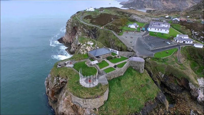 Drumboghill Island Stone FortFairy fort / stone ringfort · 756 yd
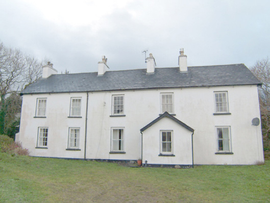 Swan Mounthouse · 1311 yd
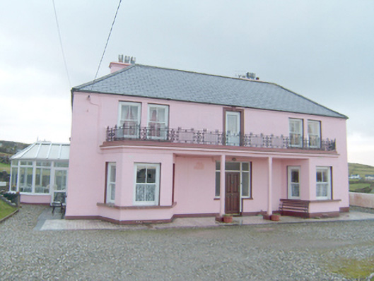 Inisfree Househouse · 1397 yd
 Site of Old ChurchChurch · 1.0 mi
 Narin–Portnoo StrandOfficial bathing water · 1.1 mi
 CastleRuins · 1.4 mi
 Bawn in KiltoorisBawn · 1.4 mi
 InishkeelIslet · 1.4 mi
 Tramore StrandBeach / strand · 2.1 mi
 Carrickalahagh HeadlandPublicly named cliff or headland · 2.2 mi
 Bonny Glen WoodForest recreation place · 2.5 mi
Other information
Photo: Credit not shown in the picture search · Rights wording not checked; contact us if this picture should be removed