What is recorded here
Druids Circle is a fairy fort or earthen ringfort in County Mayo, Ireland.
From the National Monuments Service (Archaeological Survey of Ireland) record MA044-003001
The monument record does not grant public access. Check the route and ask the landowner before entering private land.
- What survives
- Recorded monument
Places near here
Illannamona IslandsIslet · 1.0 miSite of CastleCastle, unclassified · 1.0 mi Holy Trinity Church (Ballycroy)Church/chapel · 1.2 miAnnagh IslandMountain / peak · 1.6 miHoly Trinity Church (Inishbiggle)Church/chapel · 1.8 miEnclosure in LetteraEnclosure · 1.9 miInis BigilIsland · 2.2 miClaggan O'Donnell PlantationForest · 2.4 miRock House PlantationForest · 2.5 miTober FintanyHoly well · 2.5 miHouseHouse, fortified house · 3.6 miClaggan Mountain Coastal TrailVisitor information · 4.0 mi
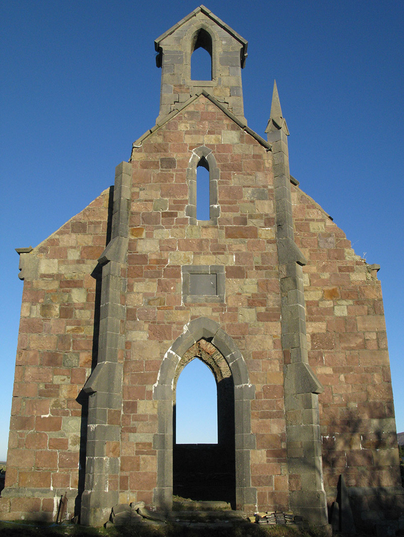 Holy Trinity Church (Ballycroy)Church/chapel · 1.2 miAnnagh IslandMountain / peak · 1.6 mi
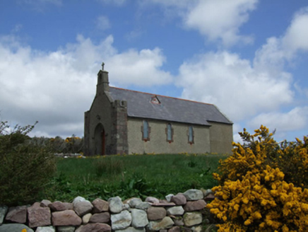 Holy Trinity Church (Inishbiggle)Church/chapel · 1.8 miEnclosure in LetteraEnclosure · 1.9 mi
 Inis BigilIsland · 2.2 miClaggan O'Donnell PlantationForest · 2.4 miRock House PlantationForest · 2.5 miTober FintanyHoly well · 2.5 mi
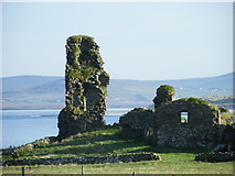 HouseHouse, fortified house · 3.6 mi
 Claggan Mountain Coastal TrailVisitor information · 4.0 mi
Pictures: National Inventory of Architectural Heritage; Jed Revans, Wikimedia Commons · CC BY-SA 4.0; dougf, Geograph · CC BY-SA 2.0; Neville Goodman, Geograph · CC BY-SA 2.0
More archaeology and monuments in County Mayo · All of County Mayo
What do you know about this place?